
There are also many things that I read during my travels that stuck inside my head for a while. For example, that Wall Drug had an interesting origin. A family decided to relocate from Sioux Fall to Wall because Wall had a good community with its own family church. The family ran an unsuccessful drug store, until one day, when the wife decided to post advertisements on the freeway, where she offered "free glass of ice cold water" to thirsty travellers. Thus, business picked up and that became the origin of Wall Drug.
Finally, one thing that I did not post yesterday was my other impression about the "Center of the United States." If you look back at the picture of the "Real Center," you will find an empty flagpole in the middle of nowhere. When I was standing near the flagpole, I somehow heard some whistling, like someone was whistling an American song. Startled, after I looked around for several minutes, I realized that it was the sound of wind passing through the holes in the pole. I am not sure though why I decided to write this in the blog, though, it might be because I was thinking about this all day when driving, so I guess I need a place to share it.
Anyway, lets go straight to today's journey, which covers area in this map:

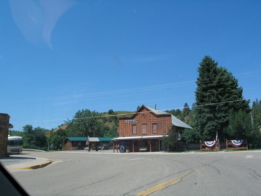
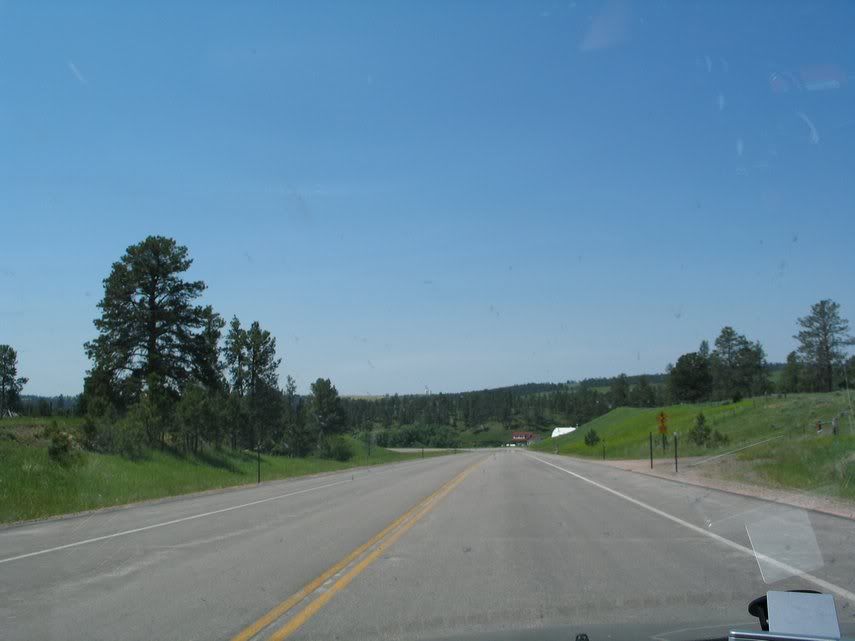
One thing that I find interesting about Wyoming is its lack of population. Many towns that I passed had population of just 10. For instance, Hulett, where I spent the night, had only less than 50 people and here's example of its scenery.
I will return to this theme again later.
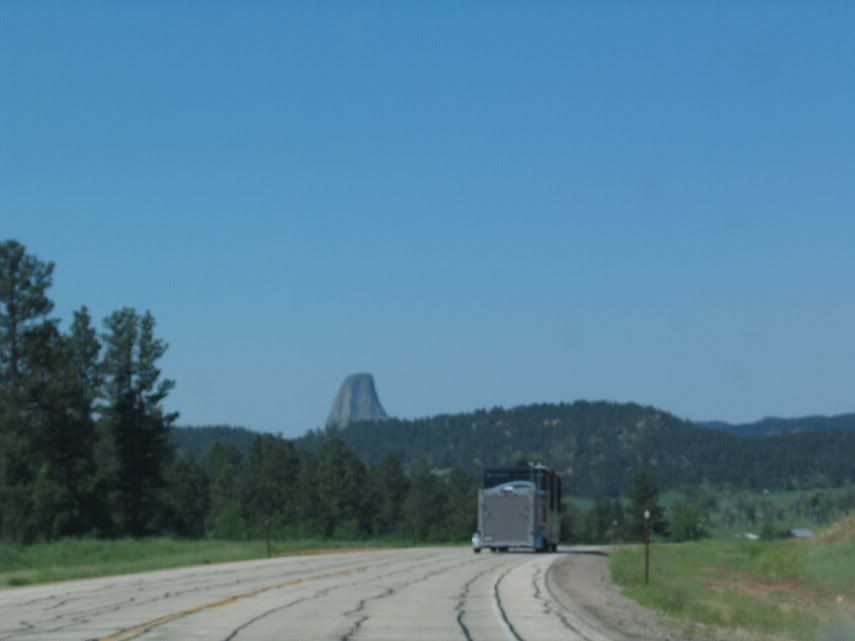
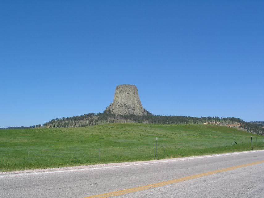
Hulett located close to this interesting spot called Devil's Tower. Devil's Tower is actually the first state park in the United States, created by Theodore Roosevelt, whose face also graces Mount Rushmore. While this place looks interesting, there are two reasons why I did not get in the park: (1) Ir requires hiking. Basically, there are trails and you should get in there if you are interested in hiking. Problem is that I am short of time and my foot is still in pain, so I should never overextend this foot for a while and (2) it costs $10 to get in the park. Anyway, here are some pictures of Devil's Tower and this place is also very popular for rock-climbing.


From here, I was torn on trying to drive to Cody to see around the place or to go straight to Livingston, MT to rest, since I want to take it easy this time. I decided to drive to Cody, adding 3 more hours to my itenary and I was hoping that the scenery would worth it.
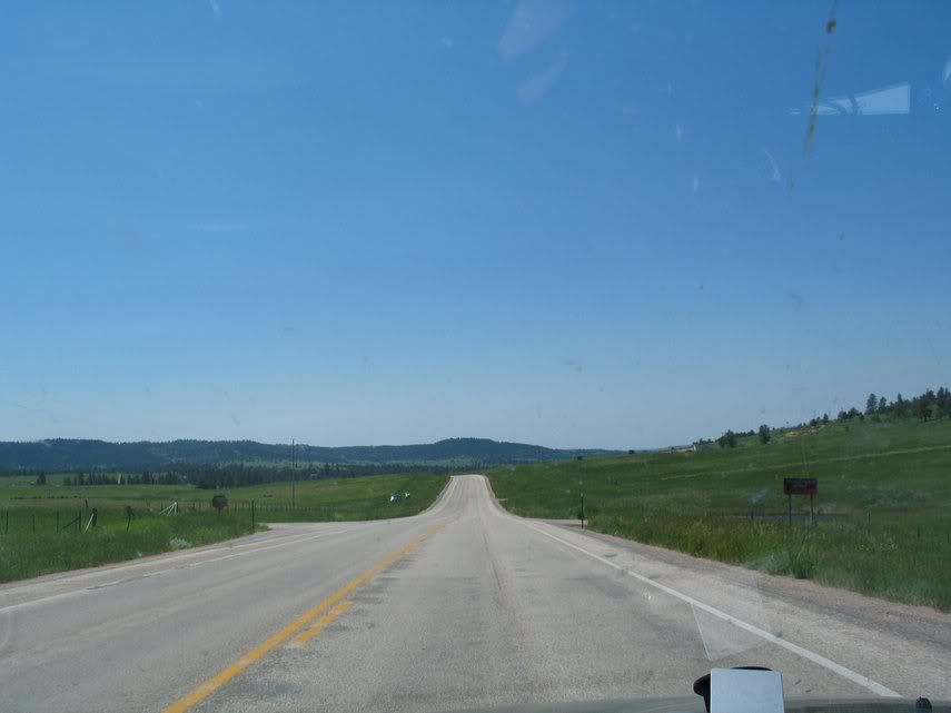
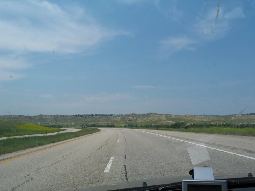
Back to the earlier discussion on the lack of population, my impression is that Wyoming has very few population. I might be wrong, since I am too lazy to check the statistics at this point, but comparing the pictures that I took in Michigan, Wisconsin, Minnesota, and even in South Dakota to Wyoming, I am struck with how few houses/farms I encountered today. Of course, I can't expect to find houses inside the national parks, but even on the road I rarely saw any farms. The only things I kept seeing were cattle and horses. No human.
Anyway, before I bore you to death, let's just show you more pictures (besides, I am sleepy now).

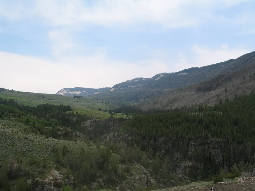
I thought my eyes were playing trick on me. I thought what I saw was low-lying cloud. To my surprise, I saw mountains with icecaps.


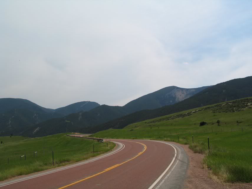
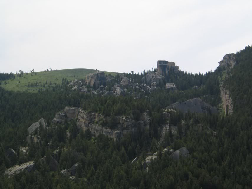
Following Route 14 to Cody, I passed the beautiful Bighorn National Forest.


Interesting rock formation. The name really drives my imagination crazy. In the future, I may want to consider a career in comic/story writing. God, so many ideas that I can get just by looking at these pictures.
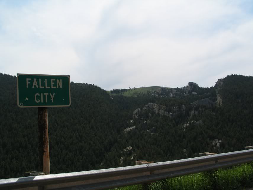
Going on, more great pictures.
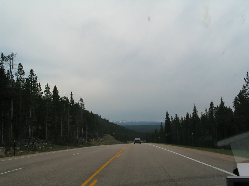


Route 14 then branched out to Route 14 (south path) and Route 14A (north path). I took the south path, though now, I could not help but to think that the northern path would be much better. Don't get me wrong: the sceneries in Route 14 (south) is really great, but after Greybull, the scenery is dull, ordinary, nothing exceptional. Route 14A seems to have many more things to see. Even the observation place for the only scenery in Route 14 (Shell Falls) is closed and I picked this route because I wanted to see that fall. Damn. For consolation. I only took its picture from the side, though the trees really obstruct the falls.

Anyway, Cody, another tourist trap.


From there, I went straight to Livingston, Montana.

The plan was to go from this place to Yellowstone Park tomorrow. However, I am changing my plan: instead, I am going to visit the Glacier Park tomorrow, so a 5-6 hours trip up north of Montana close to the border of Canada. Hopefully I will get much better picture tomorrow.
My impression of today's trip: blah. I enjoy the sceneries, but I think today trip could be better had I taken Route 14A.
No comments:
Post a Comment