

Okay, so this morning I planned to go to Mount Rushmore and followed the trip indicated by my guidebook. Well, I managed to follow some of the recommended trip... but we will talk about it later in a bit. Now, let us focus on my journey to Mount Rushmore as I have several great photos to share.
Right when I left my hotel. Look into the sky! It's a bird! It's a plane! It's a dinosaur?
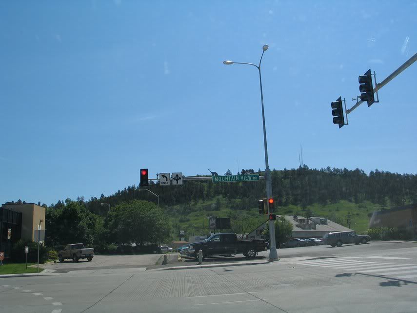
(Look on top of the street sign. Apparently they built a dinosaur model for some sort of park on top of the hill.)
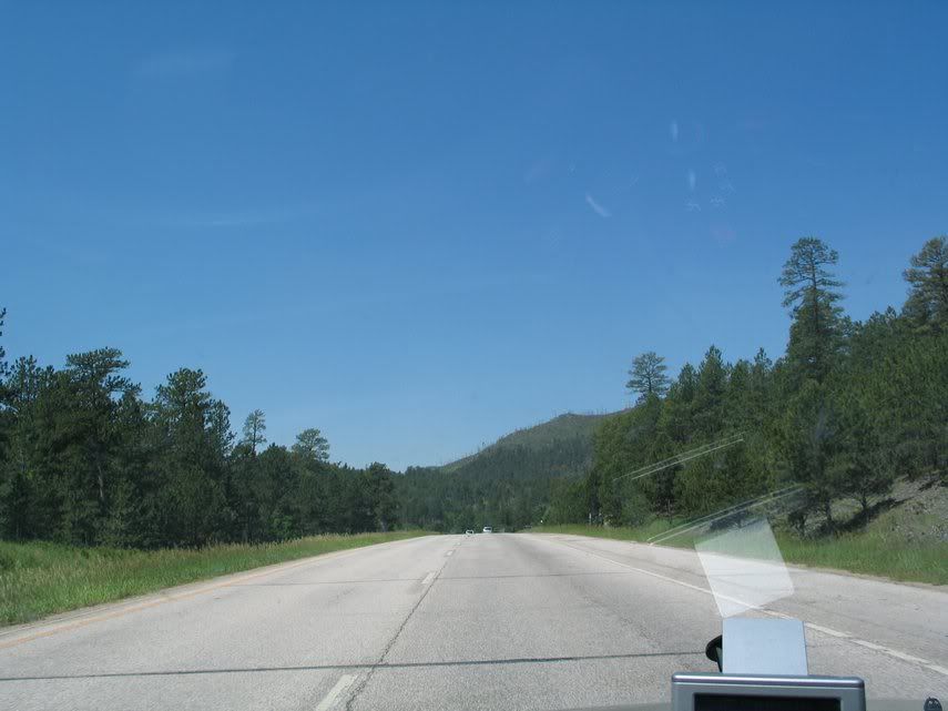
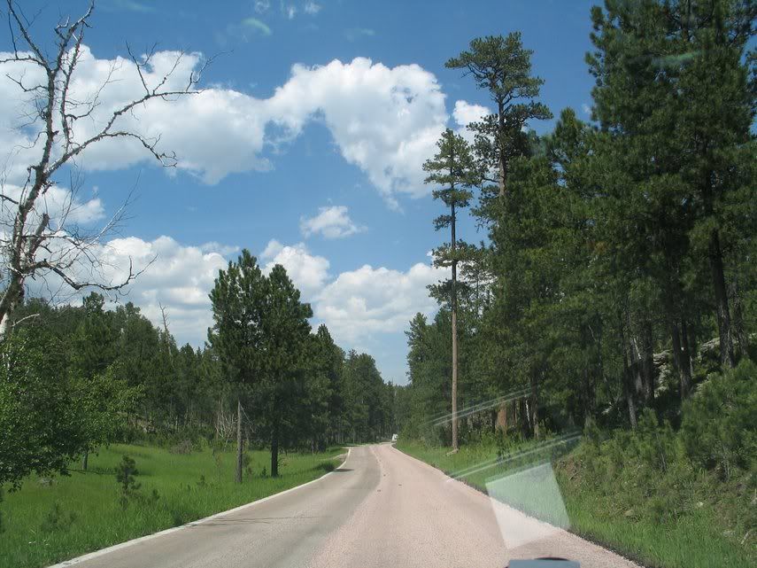
On the road to Mount Rushmore....


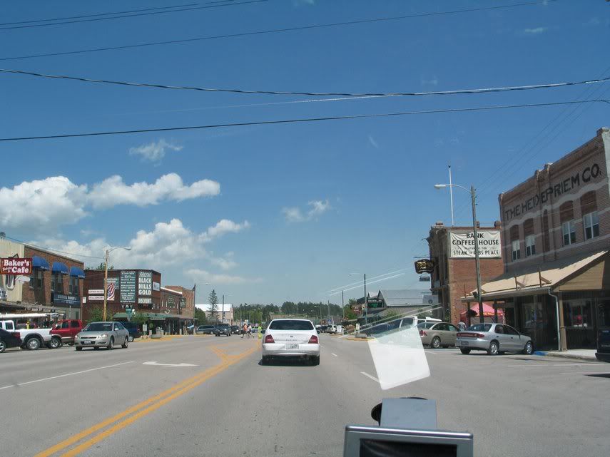
First tourist trap: Keystone

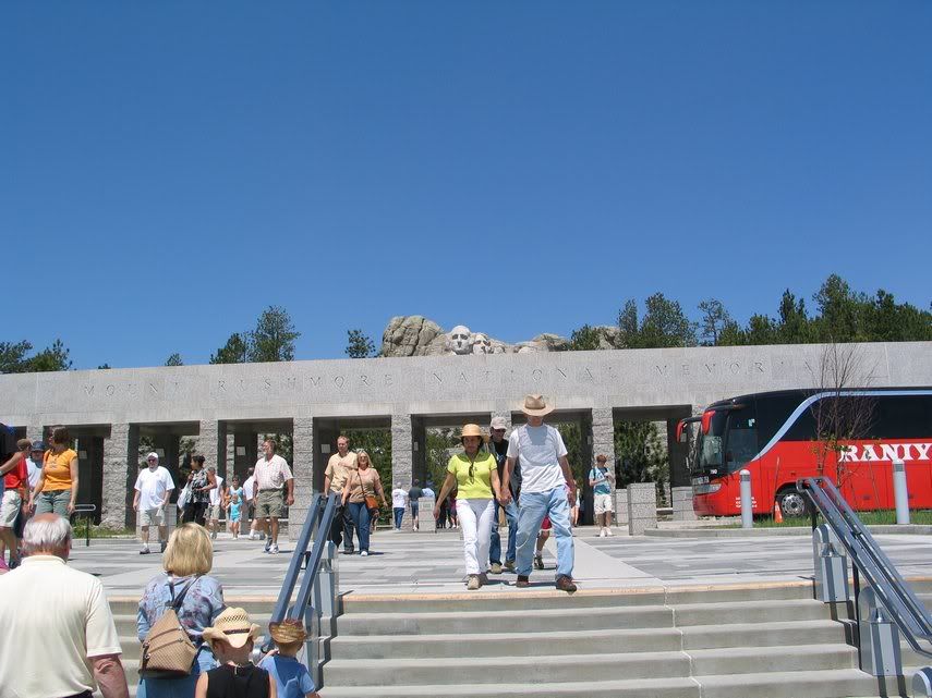
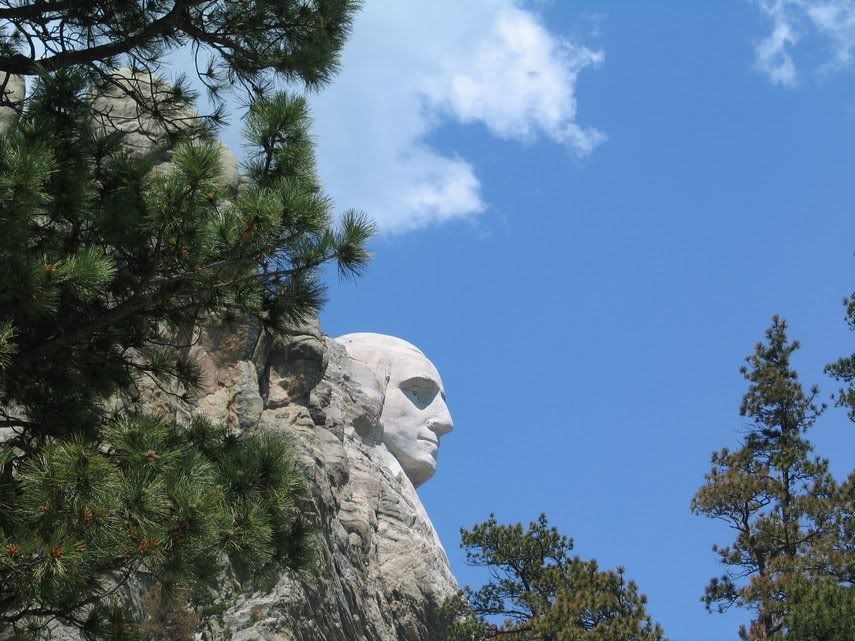
Mount Rushmore: our destination. I spent around two hours there, taking photos and walking on the trail. While my foot still had some minor pain, I managed to do the entire one-mile trip, looking at the statue from the bottom.

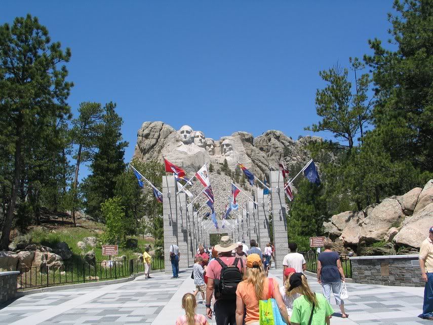


Do Washington, Jefferson, and Lincoln have nostrils?
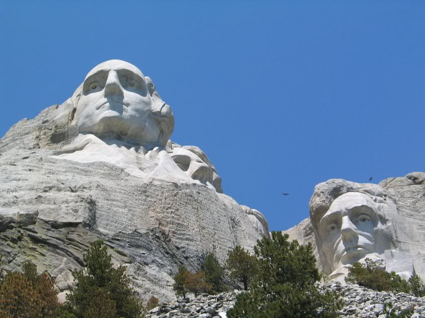
This rock arrangement to the right of Lincoln really amused me. I kept seeing a face of alien lookalike there. Do you see it, or whether I had too overactive imagination? You decide!

"And I, for one, welcome our new Alien overlord...."
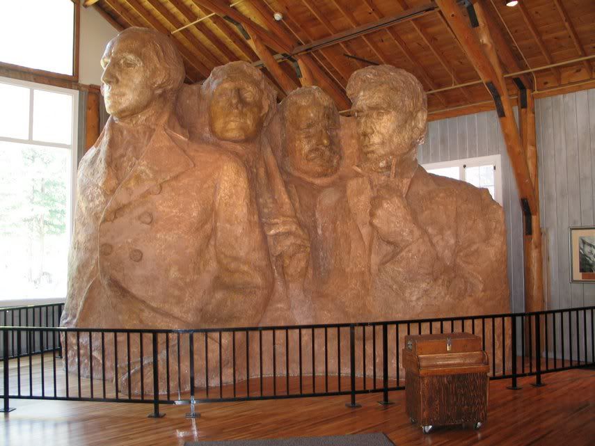
I also went into the working studio, looking at the model, where one inch of the model translated to one foot to the real statue. Apparently, the real intention of Mr. Borglum, the carver, was to have the entire body carved to the mountain. However, his death and the outbreak of the Second World War killed the plan. I am not sure whether it is better to leave it this way or to try to finish it according to the artist's intention, which would mean more dollars to spend and of course, the possibility of someone messed up is always there. Can there be two Borglums? Dunno, let's just leave the question to philosophers.
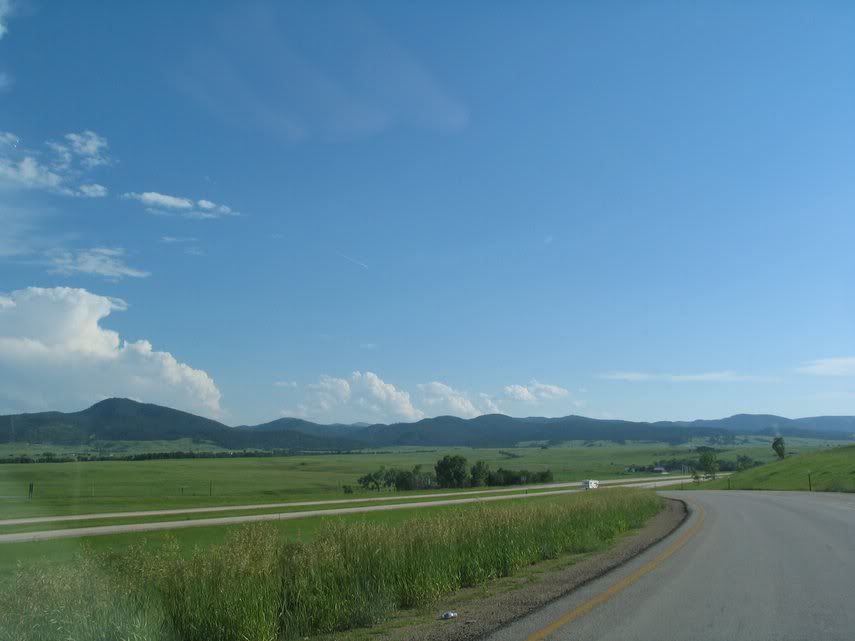
From Rushmore, according to the guidebook, I was supposed to take route 16A that goes to the Custer State Park. However, I took wrong exit, and ended up taking Route 244, which goes west, not south. So, I took route 244, 16, 385 and ended up at Custer. I was tempted to visit Crazy Horse Memorial, but somehow I decided against it. Probably because I realized then that I spent more time than I wanted in Rushmore. Later, I would find out that my hunch was somehow vindicated. Anyway, some pictures first....

Washington, seen from that exit road.
Custer, another cowboy-style tourist trap.
Needless to say, I skipped it and went directly to Custer State Park. I was dreading the possibility of having to pay some precious dollars just to pass through this park. However, to my relief, they said that unless I stopped and camped, I could pass through this area for free.
A good view of the lake (Stockade Lake?)

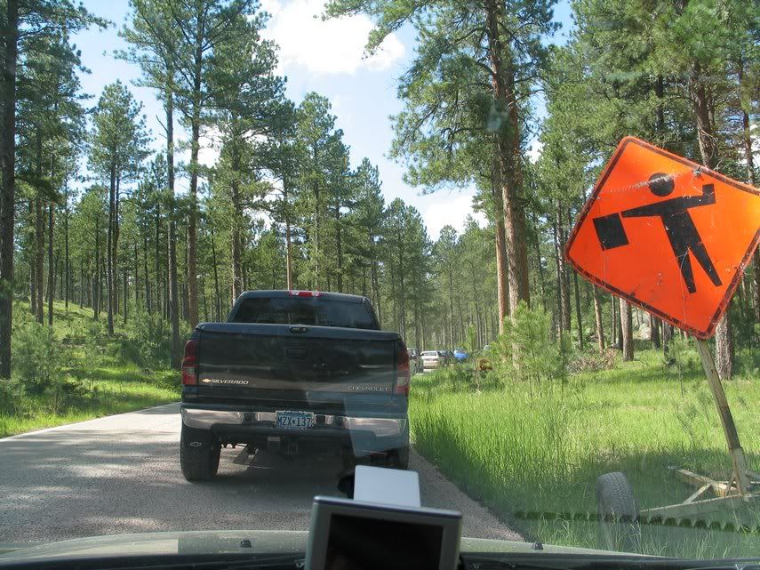
Since I was not interested going back to Rushmore or to Custer, I decided to take Route 87 that would go through "Needles" and "Sylvan Lake." However, there were two problems. First, the road was being repaired and they used some sort of materials that left lots and lots of gravels until they finished it. Therefore, they gave warnings that these peebles might damage your car. The second and worst problem, they demanded $5 to pass... the horror... the horror....
Paying $5, I found the road's condition to be worse than I expected. I felt like listening to hailstorms that struck the underside of my car.
Worse, there was a traffic jam. Since they were repairing the road, passerbys could only use one lane.... I spent several hours just crawling and stopping. At one point, I even able to stop the engine because the wait was so long.
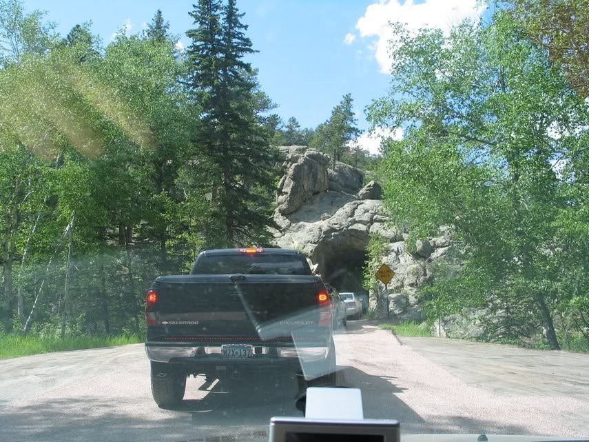
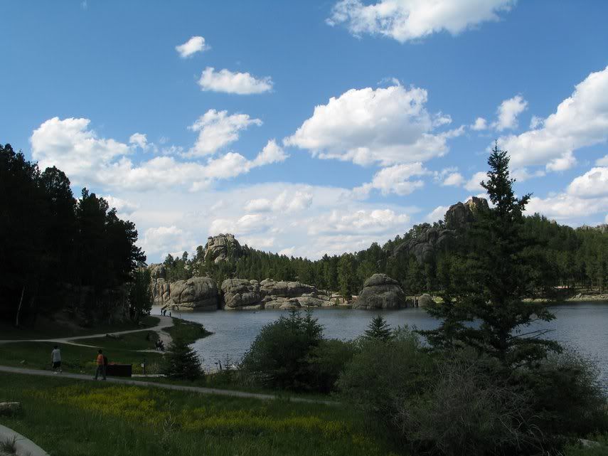
Still, the scenery was breathtaking, especially the "Needles," which was needle-like rock formation.
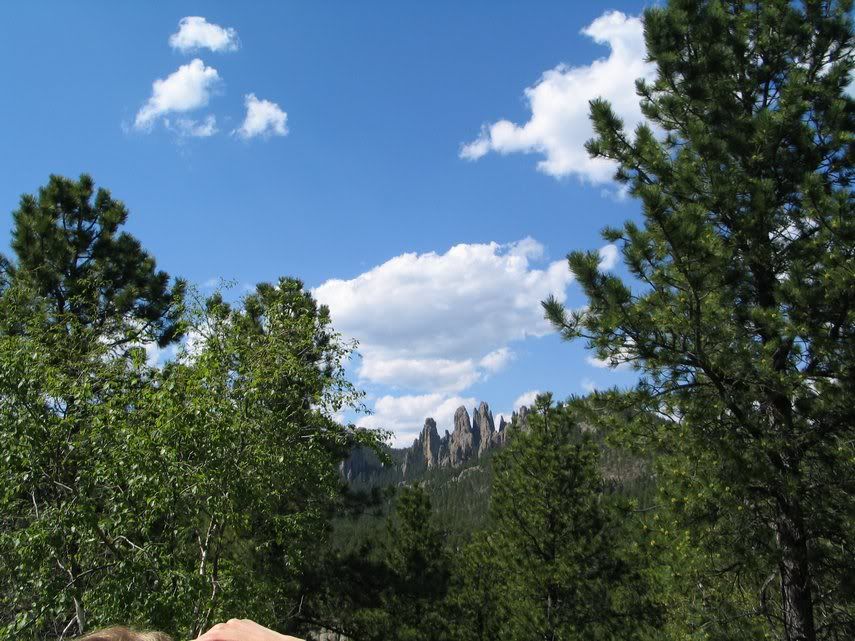

Nice view!

Sylvan Lake. Also very nice....
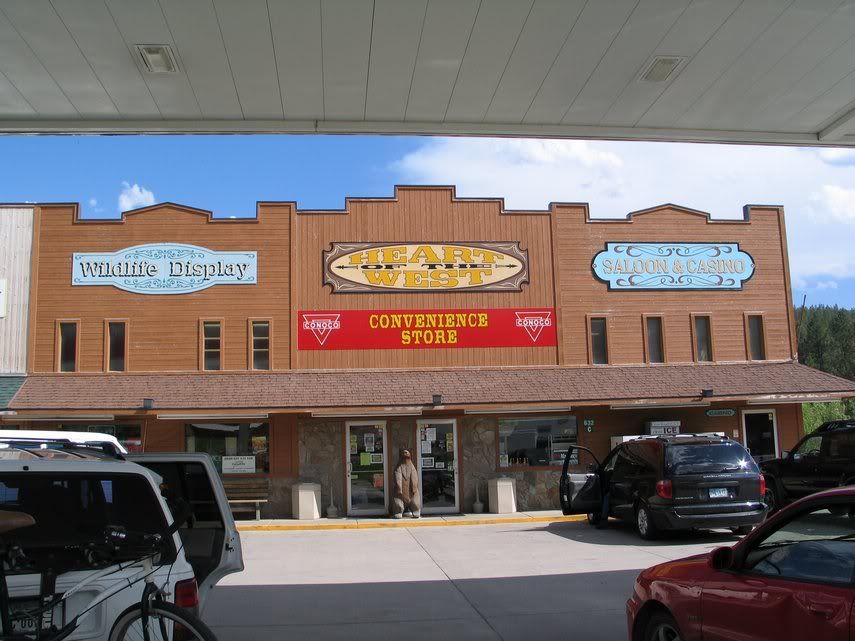
Hill City, tourist trap....

Next, Deadwood. Scenes from the route to Deadwood.


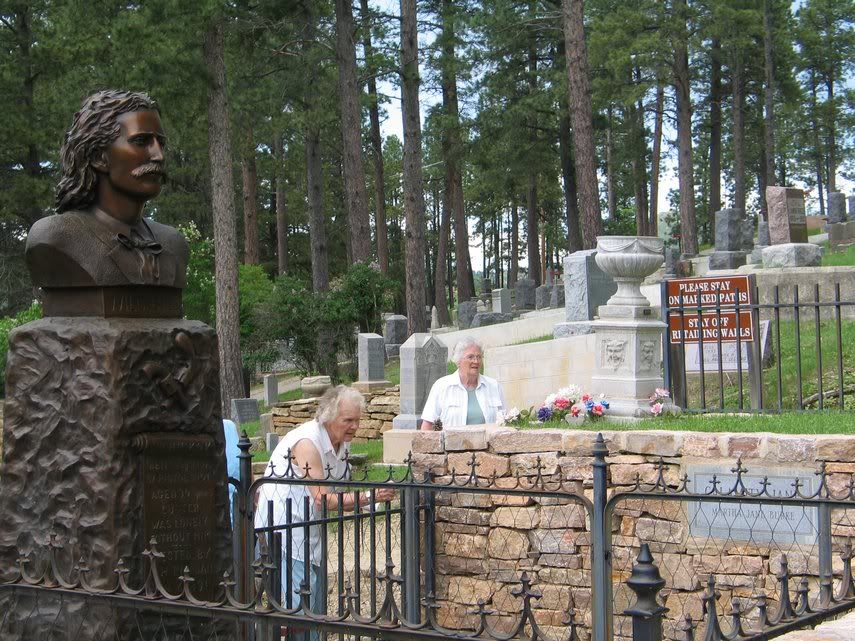
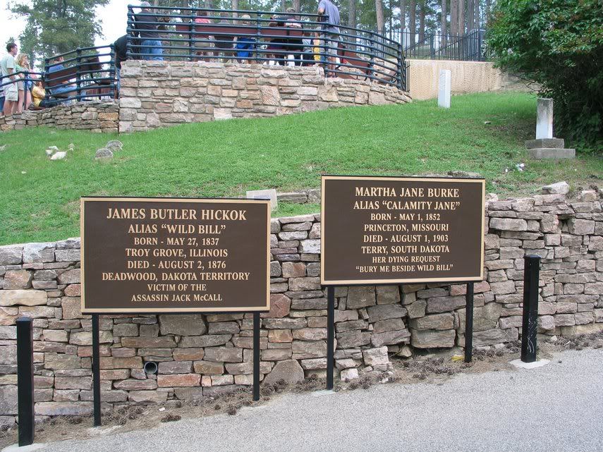
Deadwood, a famous little town from the bygones era. If you are cowboy buff, you would realize that the famous Wild Bill Hickok was murdered here, leaving his famous "Dead Man Hand." This town also a setting for a HBO drama. If you don't really know the real story of Hickok, you may also remember his name from an old TV series called "Young Riders."


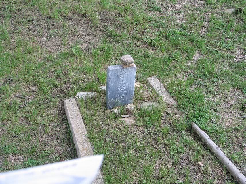
Since I love being different, I decided to visit his grave. I did not know that Calamity Jane was buried next to him.

Suprisingly, there are Chinese graves too in this town.

I need to brush up my history books....
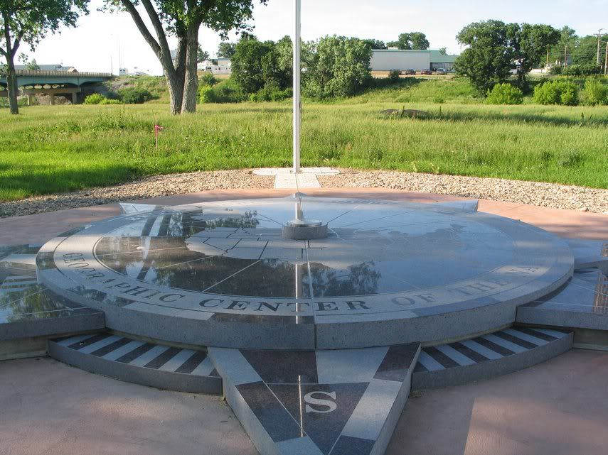
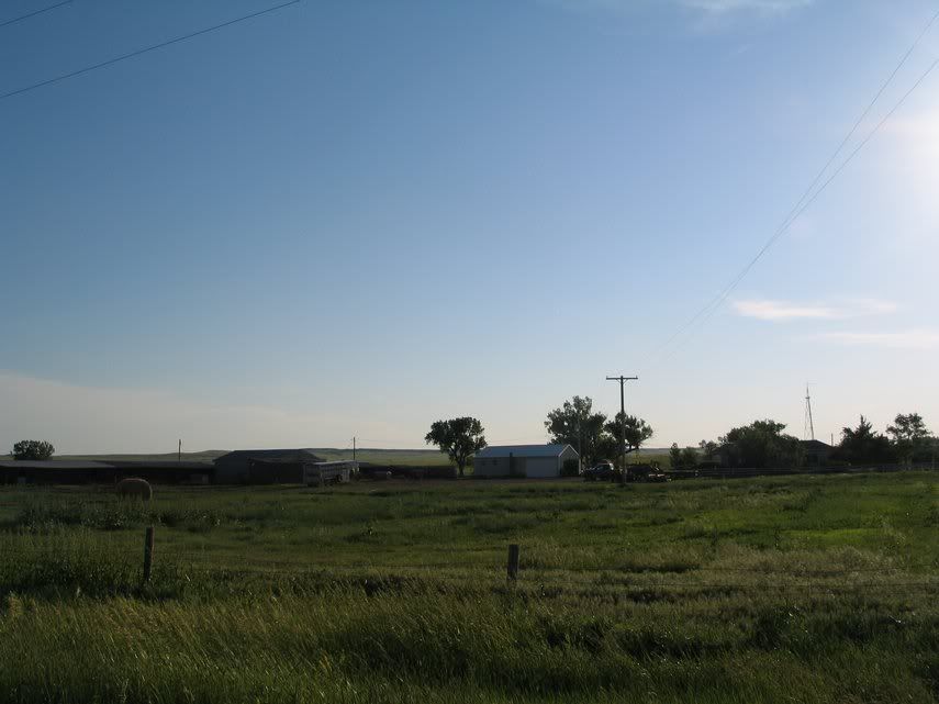
Finally, my last target for the day: the Geographic Center of the United States. Very few people know that the Geographic Center of the United States is located in a small town in South Dakota called Belle Fourche. Fewer people also know that the real marker of the "center" is not located in downtown of Belle Fourche, but much off the road. So, here I decided to find both.
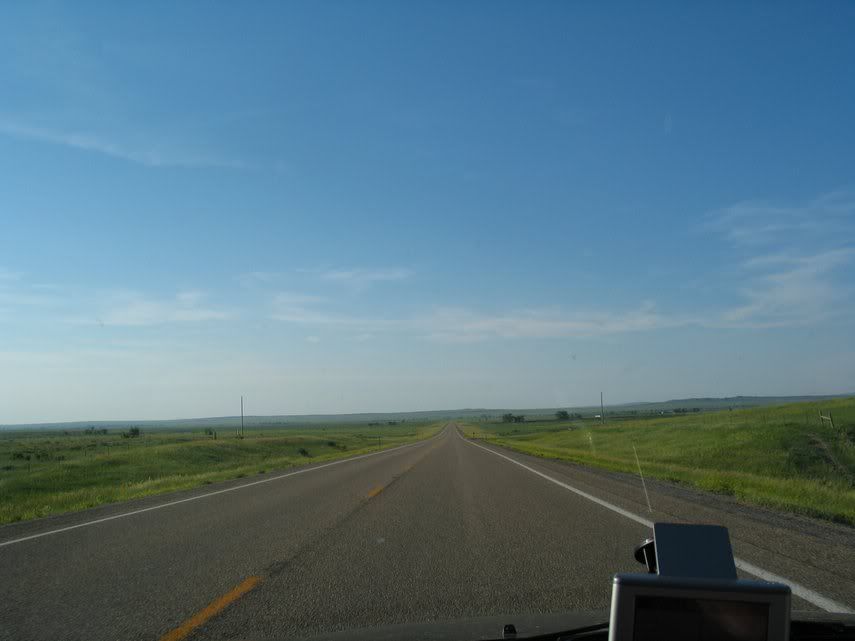
On the way to Belle Fourche

Belle Fourche's marker

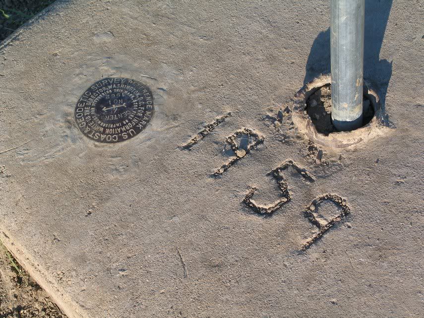
Geographic "Center" Marker.


Unfortunately, the museum was closed, so I had to find the "real marker" by asking locals at this gas station. Surprisingly, their information was good, though unclear. I had to do some few checking on the map to find the place.

The location of the real marker is at Harding road (old SD-85)

Here's the reason why they moved the marker to the downtown. It was a pain in the neck to go there, passing through gravel road in the middle of nowhere. Therefore, the citizens of Belle Fourche decided to move it to generate tourism.


Here's the sign for the real marker. The real marker itself is inside the field. I had to climb over the barbed wire. Ouch....
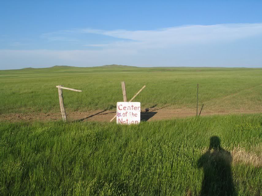

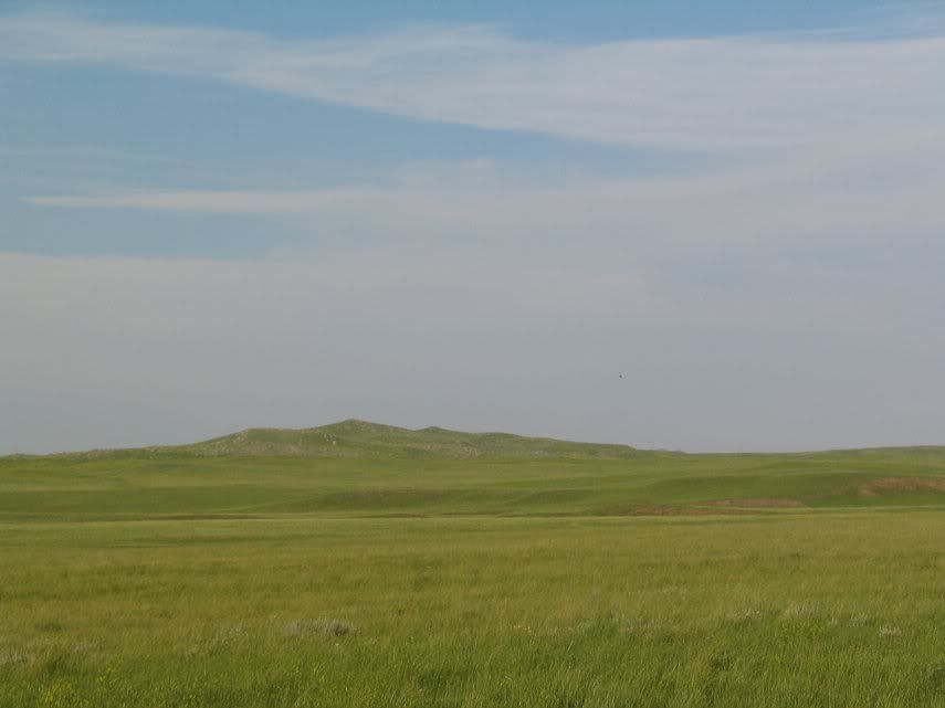
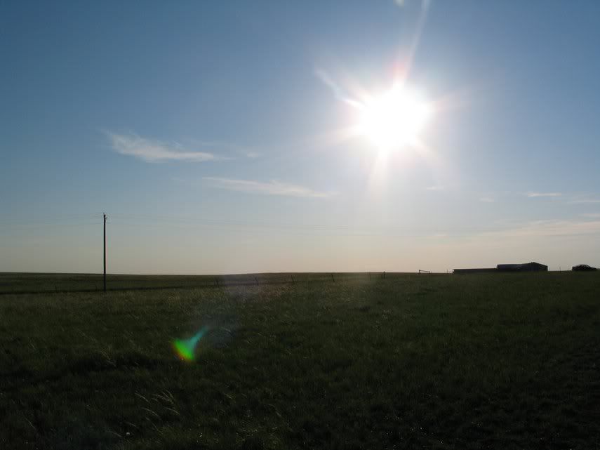
As you can see, the marker is really in the middle of nowhere. It is all plain as far as eyes can see.
Still, I can't help but to reflect of the marker. Somehow, getting to this marker is far more satisfying than looking at Mount Rushmore. For one, finding this place is somewhat difficult. In addition, without this New York Times article, I won't even know that this place exist. Basically, this place is a place where you have to be willing to spend some energy to find and not as famous as other places.
Seeing how humble this place is, you also can't help but reflecting: what really shows the "true" American spirit: the pomp and circumstances of Mount Rushmore, gloryfing great figures of the nations, or this place, inside a farm in the middle of nowhere, a simple sign showing the "Center" of the United States of America, where you can't help but feel the spirit of adventure that probably fueled the pioneers back then, willing to march through challenge, even only for 7.8 miles of rugged road to find this place? Perhaps, these are just the two sides of the same coin? Dunno, there are many things on my mind after that visit to the center. Still, at this point, I prefer to finish this blog ASAP before going to sleep.
Therefore, without further ado, some pictures on the way to Hulett, WY.


Okay, tomorrow: The Devil's Peak and then Livingston, Montana. About the car: your car may be messed up if you use it to drive through all these gravel roads for entire day. Try it.
Anyway, Night.
No comments:
Post a Comment