Sunday, June 29, 2008

Jelly...oops... Yellowstone

Well, first, my apology for being late in posting this blog. I was dead tired last evening when I arrived at the hotel.

You know that your vacation has gone too long when you are starting to feel that your vacation is no longer a vacation, but a chore, a rat race from one direction to the other. I guess, that's because I have been on the road for almost three weeks now (though I spent nine days in Minneapolis recuperating). Of course, the fact that San Francisco is so close now also makes thing so different.

Therefore, as I am writing this blog in Pocatello, I am torn between two choices: either going back to Yellowstone and continue to Grand Teton Park, which I skipped yesterday because I spent too much time hiking, or going straight to Salt Lake City before going home to San Francisco. So, it is the choice between continuing the vacation that no longer that appealing or to return home, though of course, still stopping here and there as usual.

Of course, if I want to go back to Yellowstone, it is a pain in the neck to do it. The road from here to Yellowstone is horrible. Aside of three hour drive, I find Idaho's roads to be pretty annoying, with 35-MPH-zone in every several miles of 65-MPH zone along Highway 20 (Plus constructions abound). Not to mention really horrible drivers.

I have not said anything about fellow motorists for a while, but here's my question: why so many idiots decide to drive around 50 MPH in 75 MPH area? Especially yesterday, so many idiotic Californian drivers who did not even use their turning signal until the very last minute before they entered hotel, supermarkets, etc. Vans, SUVs, RVs, and busses also pretty much annoying due to their size: it is impossible trying to observe the road when they are right in front of you. My only consolation is to imagine their face when they are filling up gas at $4-4.5/gallon with their really horrible 10-20 MPG rate. On the other hand, my 2000 Honda, fully packed with my stuffs back from Columbus, reaches between 35-40 MPG, though at some point, it dropped to 32 MPG. I don't know why.

Anyway, just a small tip, if you are an impulse vacationer like me, who have not reserved my hotels months in advance (Yellowstone hotels are completely booked from several months ago), you may want to stay in Livingston, MT. While it is still two hour drive from Yellowstone, the road, however, is pretty empty and it was a breeze going from there to Yellowstone. However, keep in mind that I am traveling in late June. I don't know whether the week of July 4 will be worse.

Okay, on to the map:


Road to Yellowstone
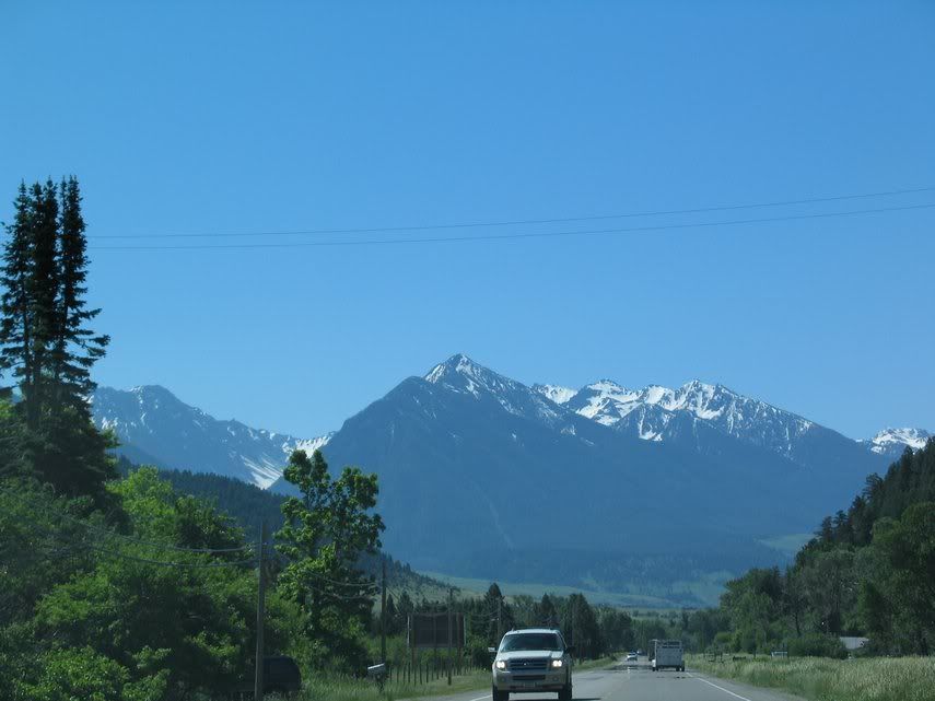

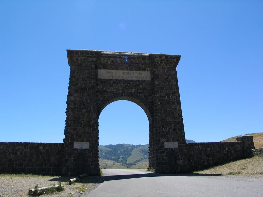
Entrance to Yellowstone

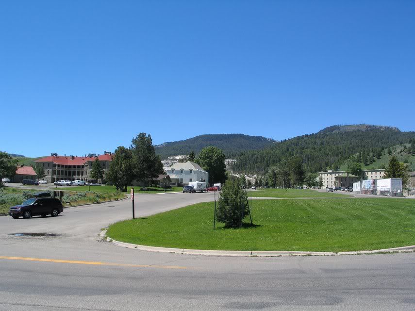
Tourist trap in the middle of Yellowstone

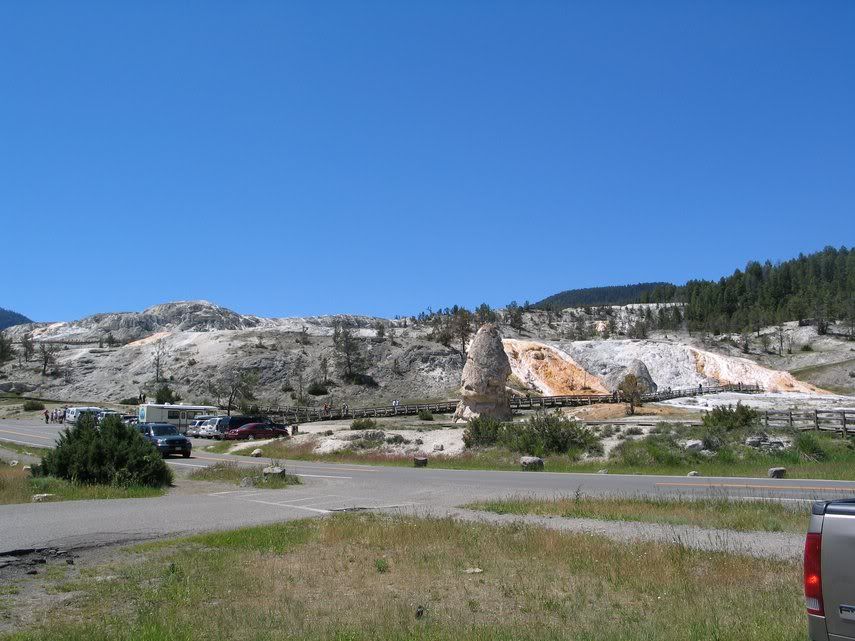
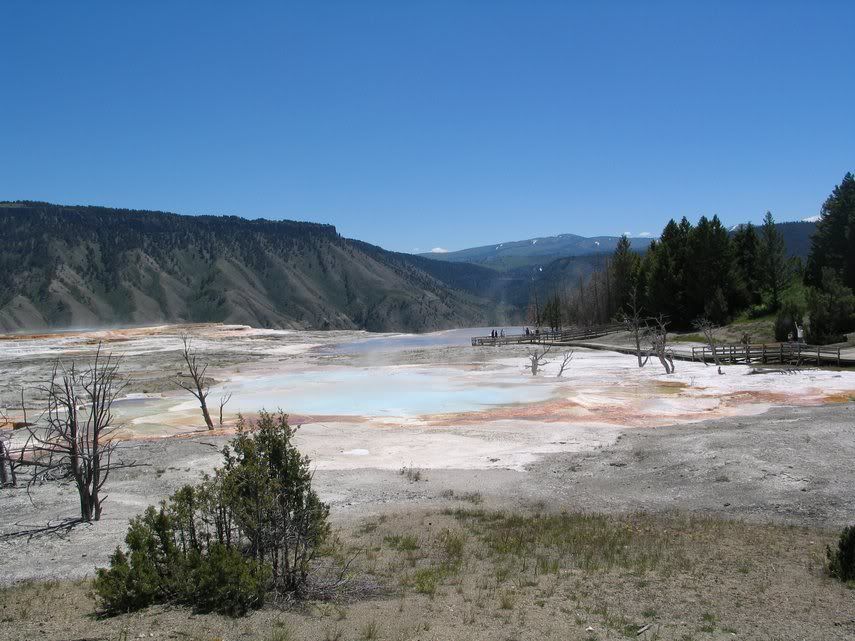
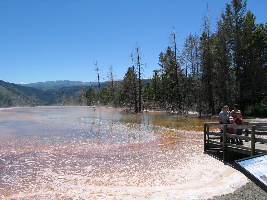
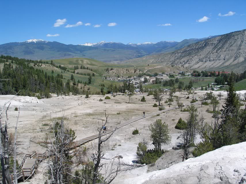
Mammoth Hot Springs. Yellowstone is located in an ancient caldera, causing it to have so many hot springs. Unfortunately, you can't take a bath there lest you want to commit suicide. Hot+highly acidic = Bad.
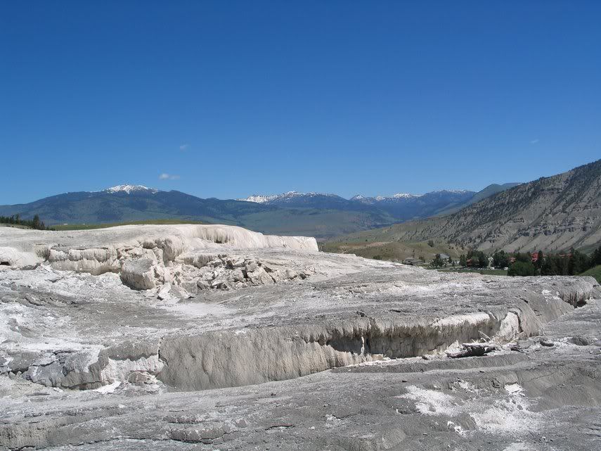
Passing hazardous area
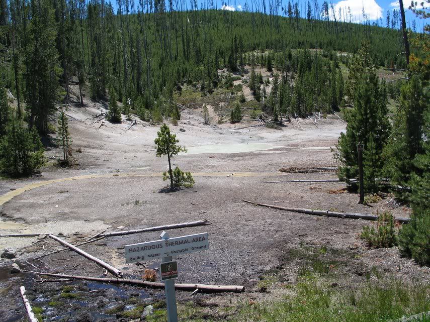

Norris Geyser Basin. Apparently, there are many geysers in Yellowstone. In fact, the famous "Old Faithful" is not the biggest geyser in park. The distiction belongs to the "Steamboat," though last time it erupted was back in 2005. Old Faithful is famous due to its predictability and relatively frequent eruption.
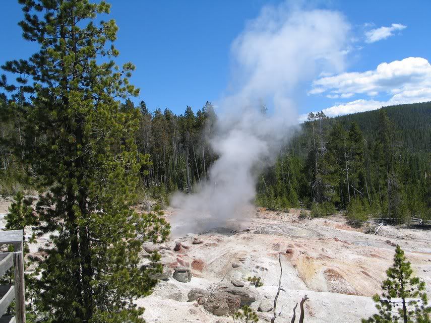
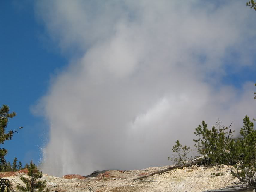

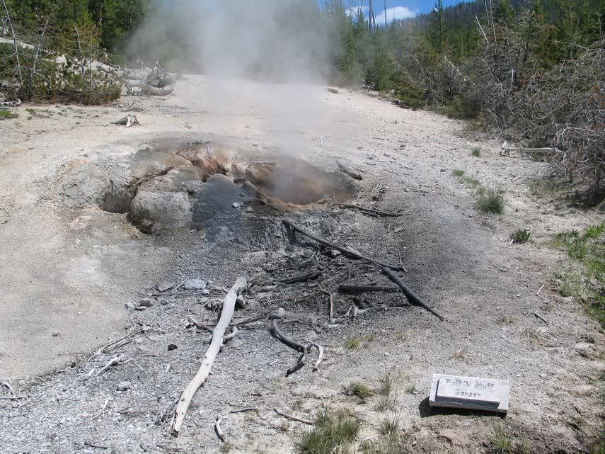
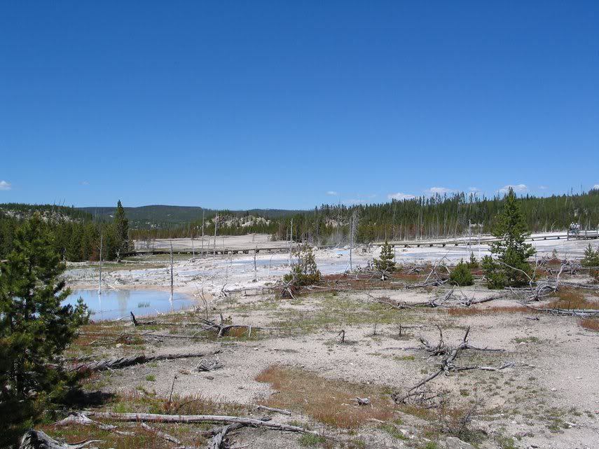
I would call this hole "Puff the stinky dragon." It stinks badly. It is an example of so many holes in this basin.
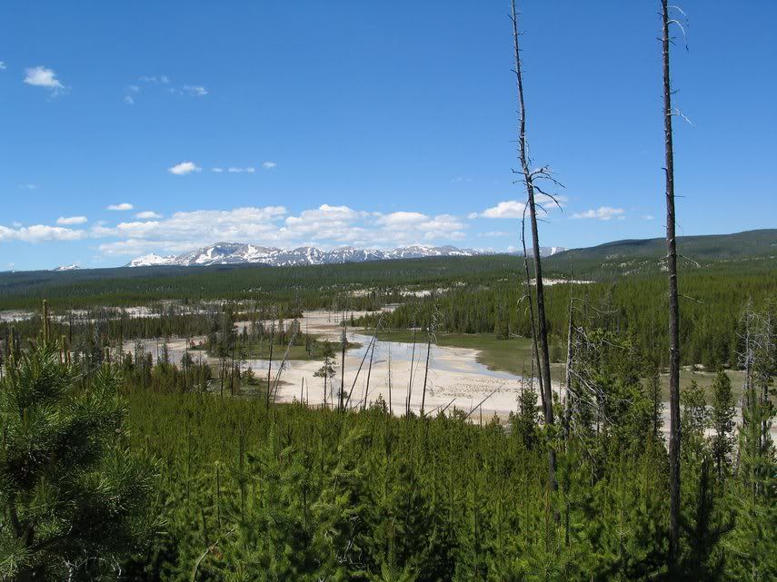

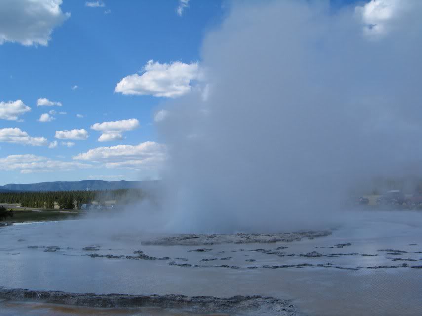
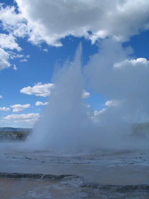
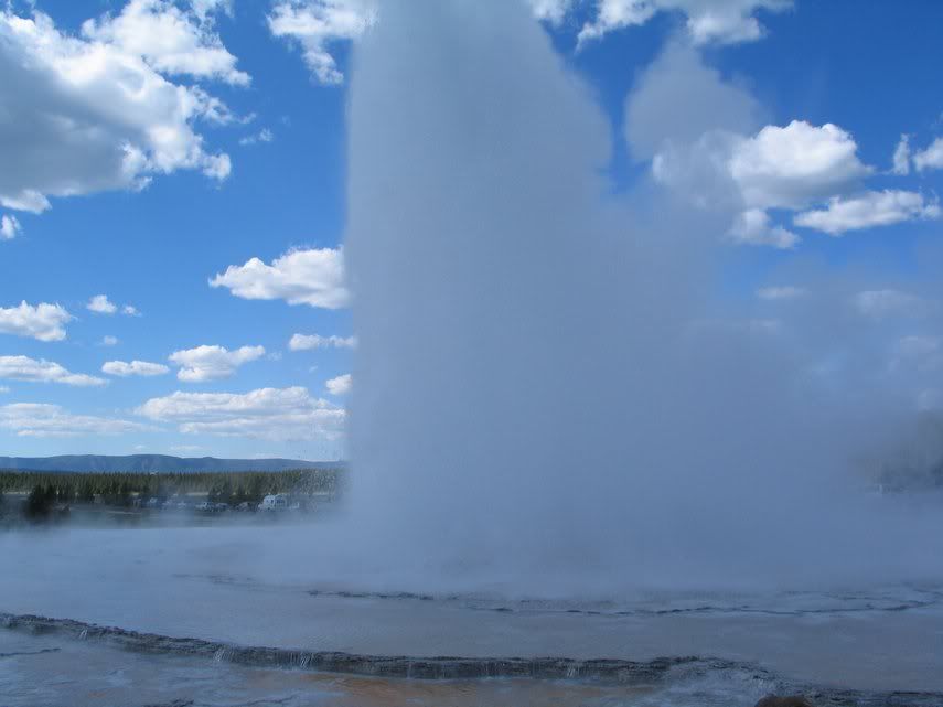
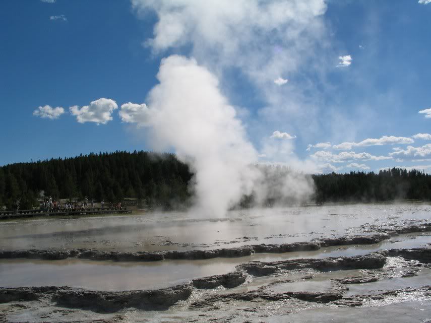
So, I accidentally passed to this "Firehole Lake Drive" and to my surprise, apparently there was a geyser which would erupt soon (I happened to be there at around 4 and there were crowds already. A notice said that it would erupt between 4:25-4:40). So, what else to do but to wait?
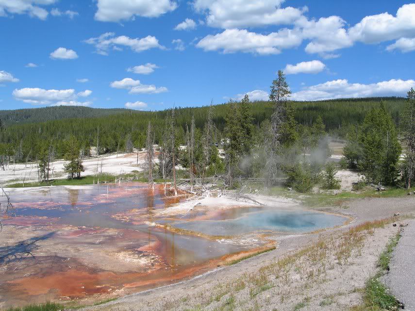

Waiting for geysers is like waiting for your water to boil, watching paint dry, etc.... So frigging boring....
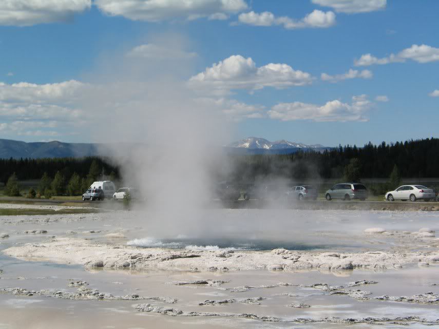

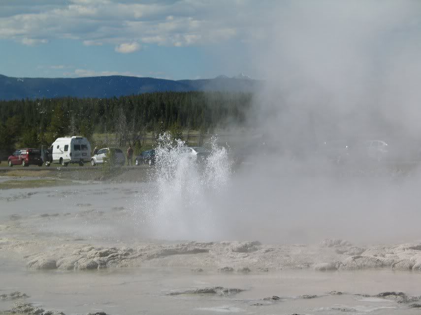
To my surprise, another geyser erupted close by. Damn.
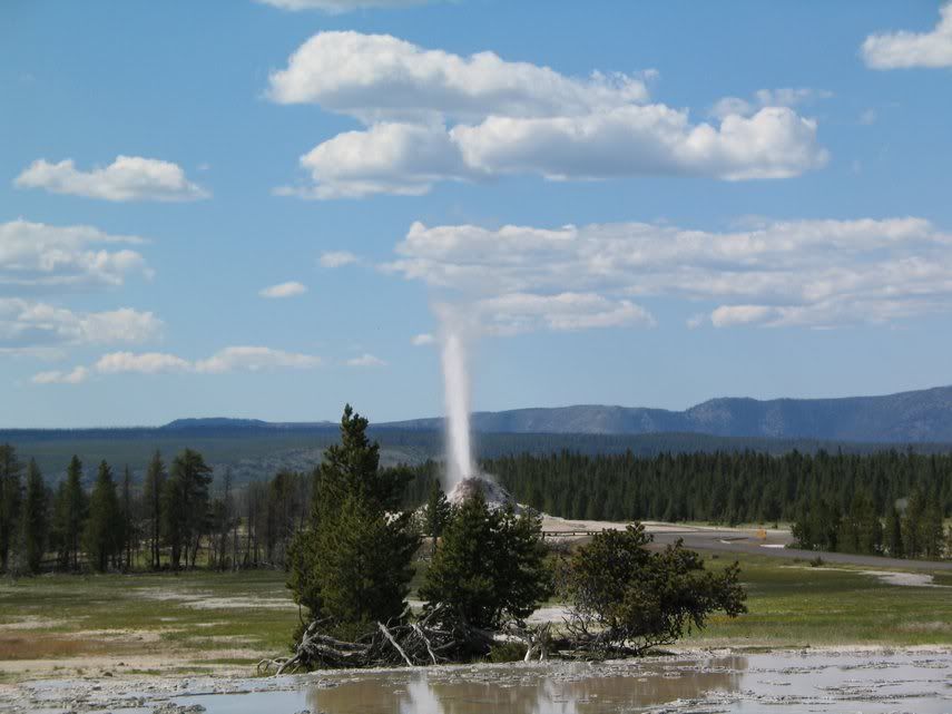

Plus, so many false alarms:
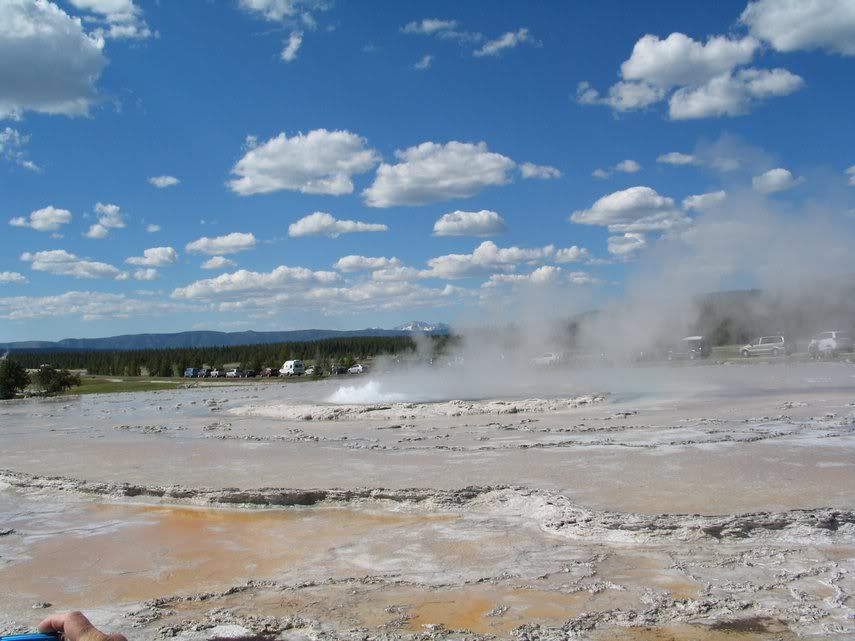

Is it?
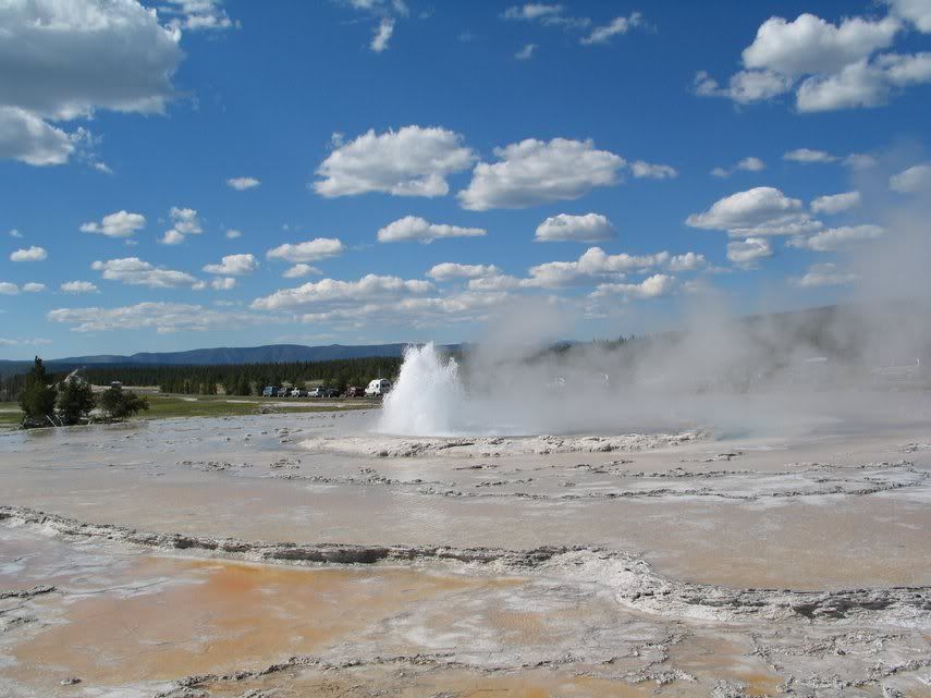

Damn, a dud.
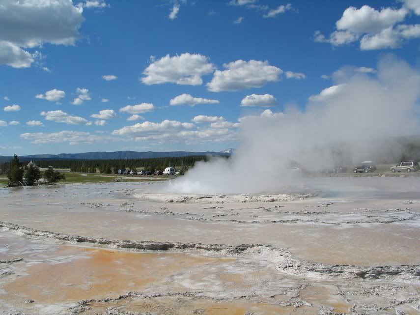

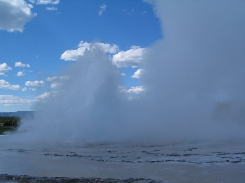
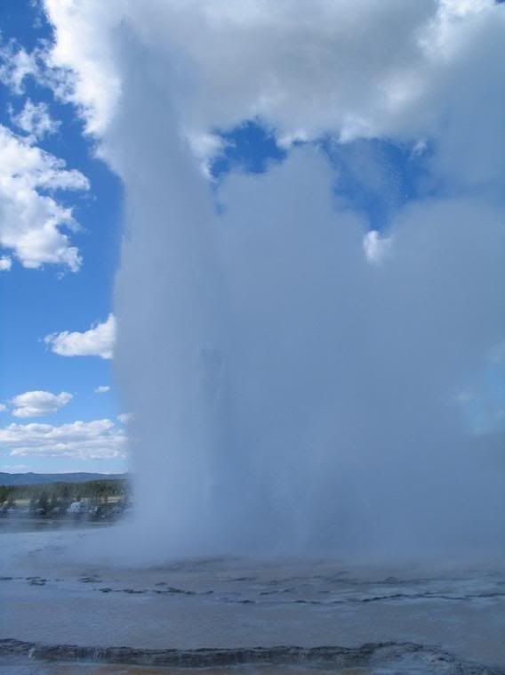
Finally, at 4:45....
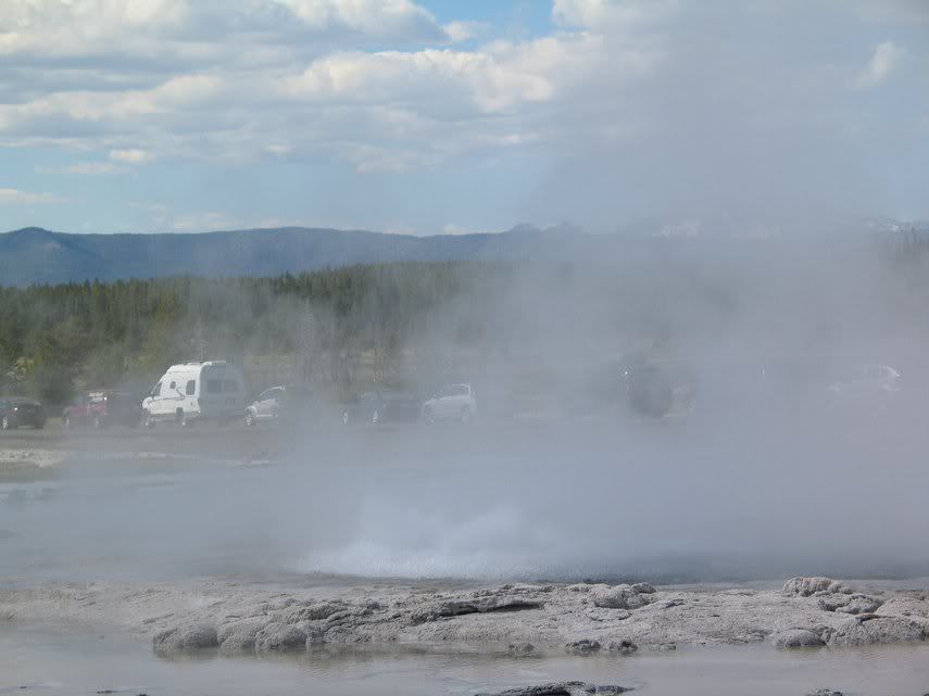


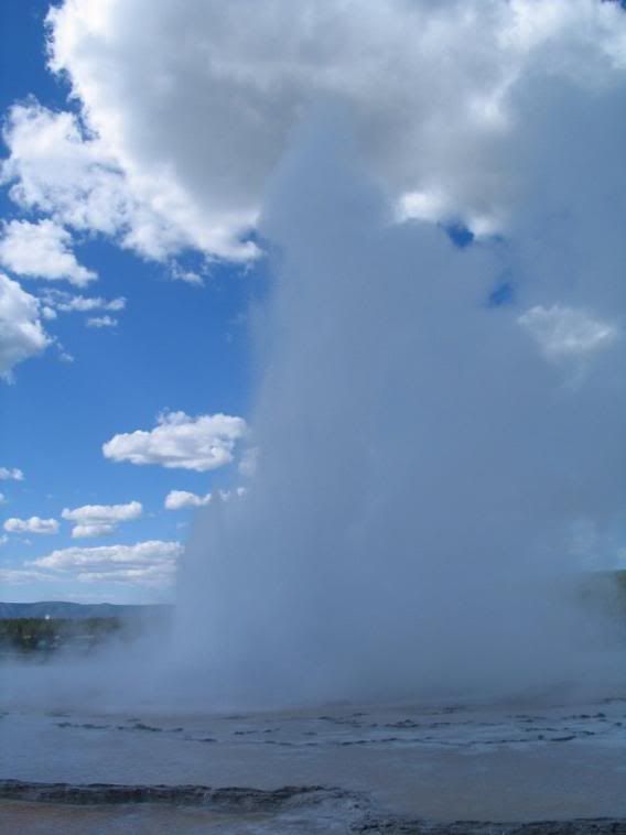
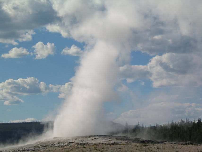
The eruption lasted around 10-15 minutes with several towering sprouts happened in the interval.

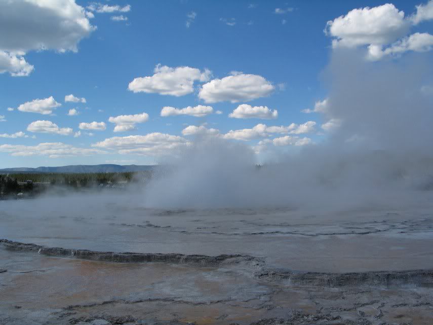
The eruption then became smaller and smaller. Notice that the hole becomes empty.
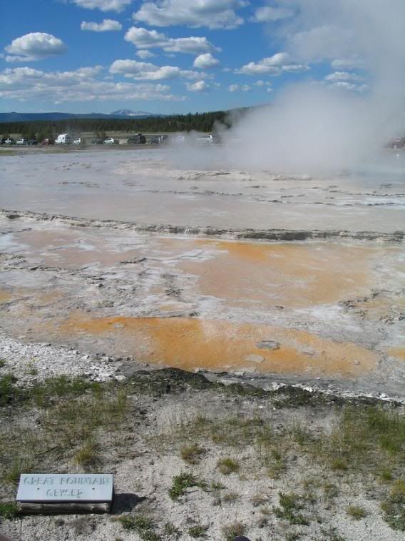


Remember the previous geyser?
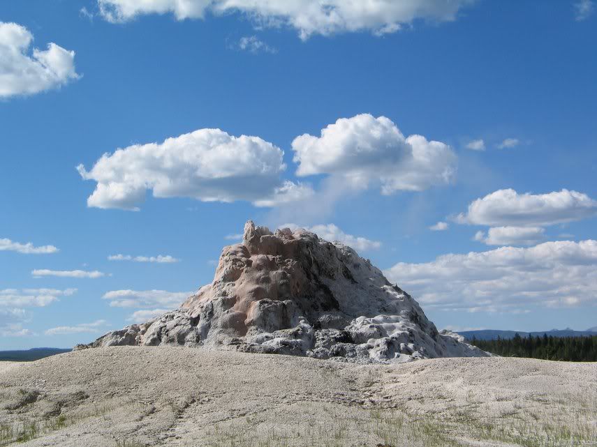

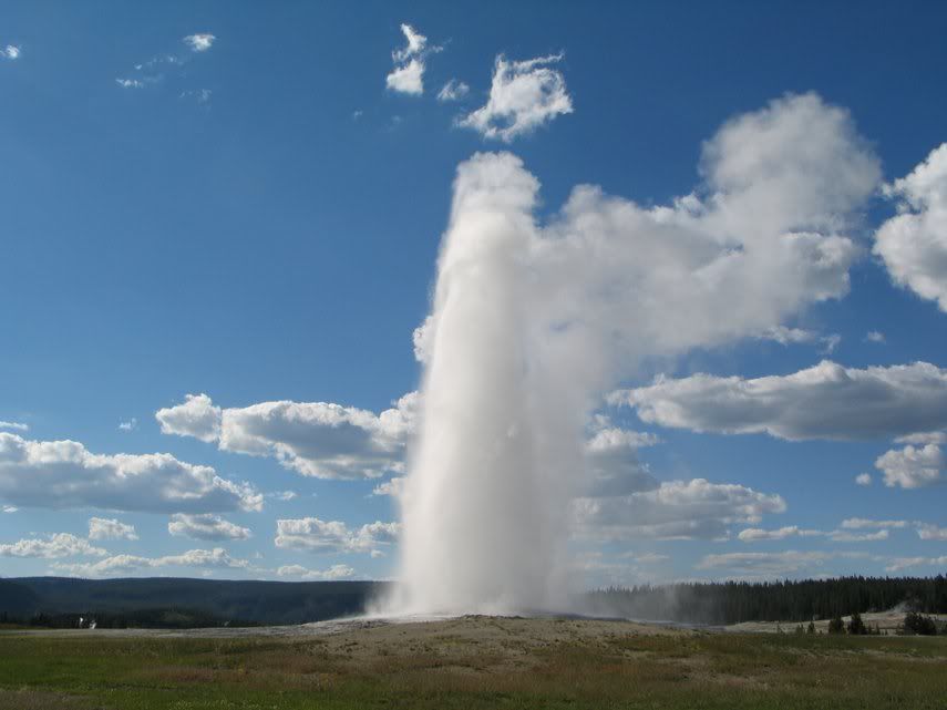
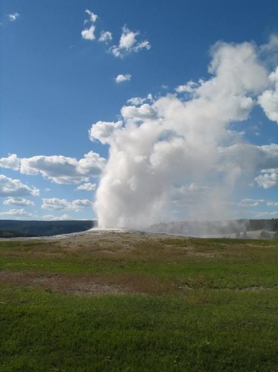
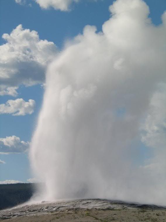
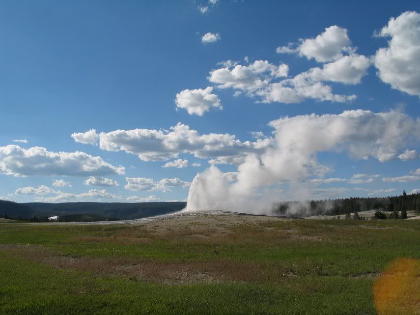
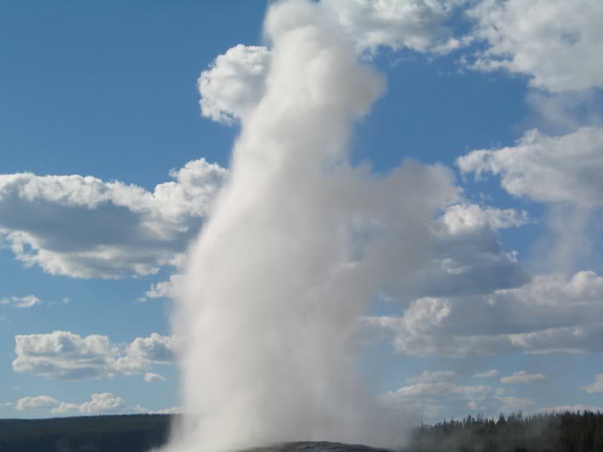
Now, the Old Faithful. At this point, it erupts every 90 min, though each year the interval changes. Plus, you can't predict the eruption accurately by the second. It is a myth.
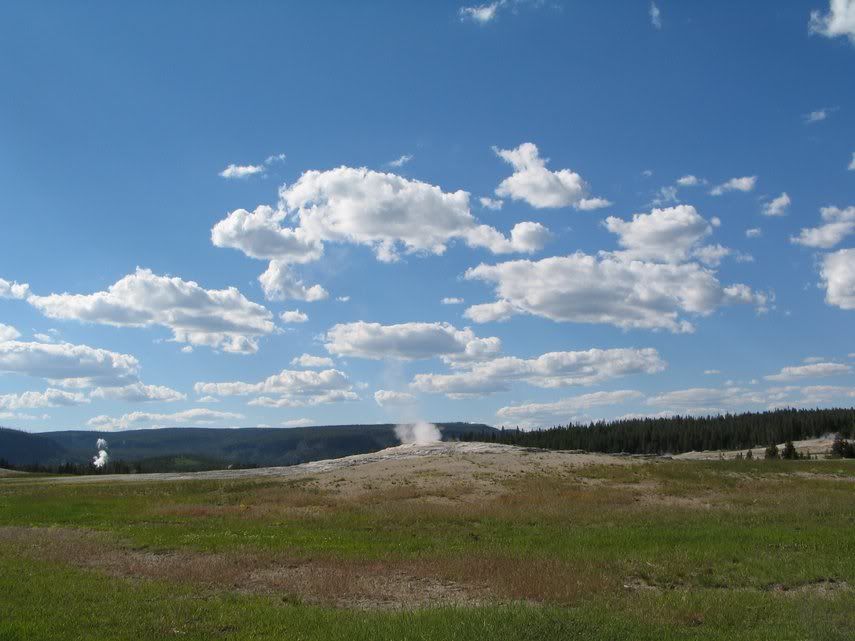

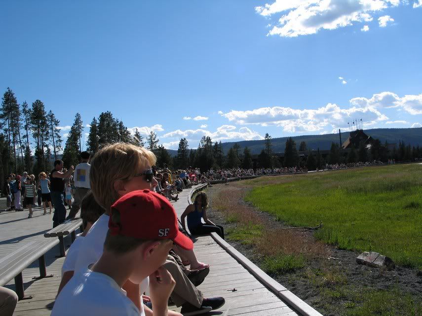
Crowd waiting for the encore.

The eruption


Leaving Yellowstone
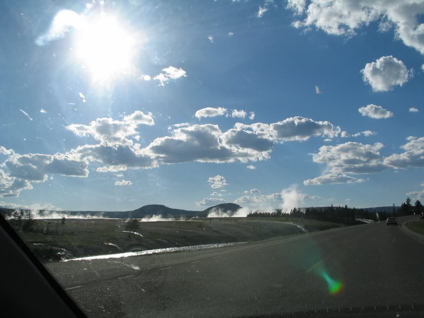


Time to go now. I think I will go today to Salt Lake City. We'll see. Unlike the usual, I have not booked hotel for tonight. Let just hope everything for the best today.

Friday, June 27, 2008

Long day....

*EDIT*
I put some photos today, but not that many because now I am in another time-crunch. Enjoy.

Today is pretty messed up. I had been driving from 9 AM in the morning to 11 PM at night, simply to catch up whatever I missed yesterday... from the St. Ignatius Mission to the Glacier Park. So, I am pretty exhausted now. While I took more than 200 pics today, I don't think I am in the mood to upload as many as usual. Anyway, let just start this blog and we'll see how far this blog goes today before I decide to call it a night.

Well, the map, please:


As you can see, it is pretty messed up. First, I went south to St. Ignatius Mission taking the west side route (93). After I arrived at St. Ignatius, I returned using Route 35 (East side of the lake), then 206 to the Western Entrance of the Glacier. Since we found out that the "Going-to-the-Sun" road was blocked by snow, I took route 2 to the Eastern entrance of the Glacier, then went to the "Many Glacier" and to the east side of the "Going-to-the-Sun" road. From there, when I wanted to return to Livingston, I found that the road was blocked due to an accident, so I had to turn back, taking a road near the border with Canada then going south and driving for around 5 hour, then ended up in Livingston. Damn, I am tired....

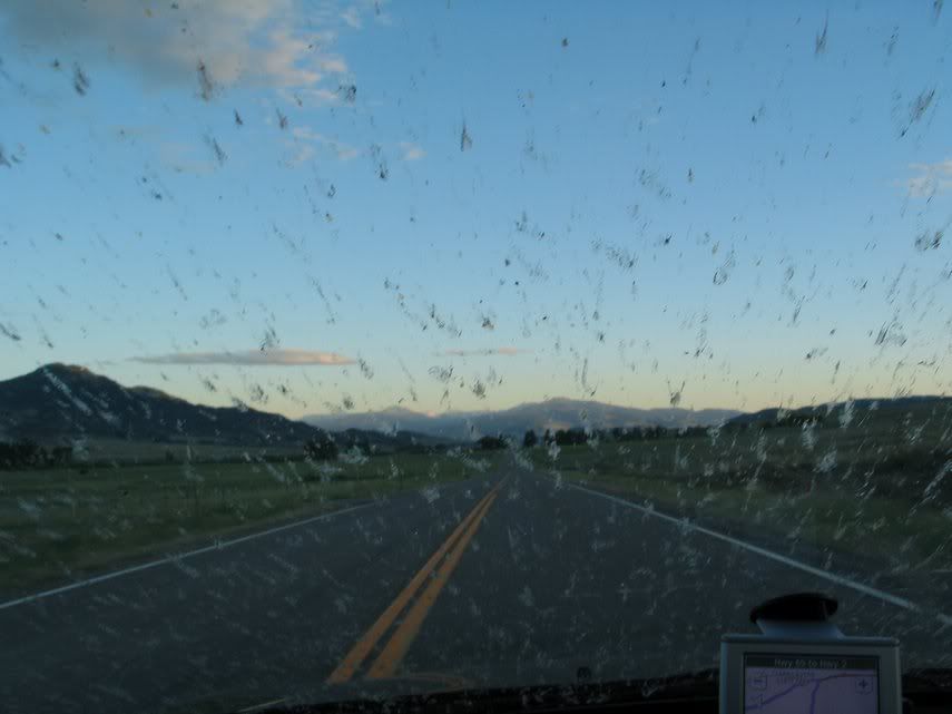
Another thing.... Never ever completely trust your GPS. Yesterday, it told me to drive through a dead end to a highway and today, it twice told me to use gravel roads for "shortcut." Finally, it told me to use a route off the highway and my windshield ended up like this:

I think I killed thousand of insects by using that damn shortcut....

*Next day edit*
Still, GPS is not all that bad. It did save me from getting lost on numerous occassions and allows me to find the hotels easily. Still, I hat it when it nags me whenever I pick a route that it does not want (though according to the map, the alternative route is also possible).

Anyway, some pictures, though I won't put as many as usual, since I need to prepare to go to Yellowstone today.
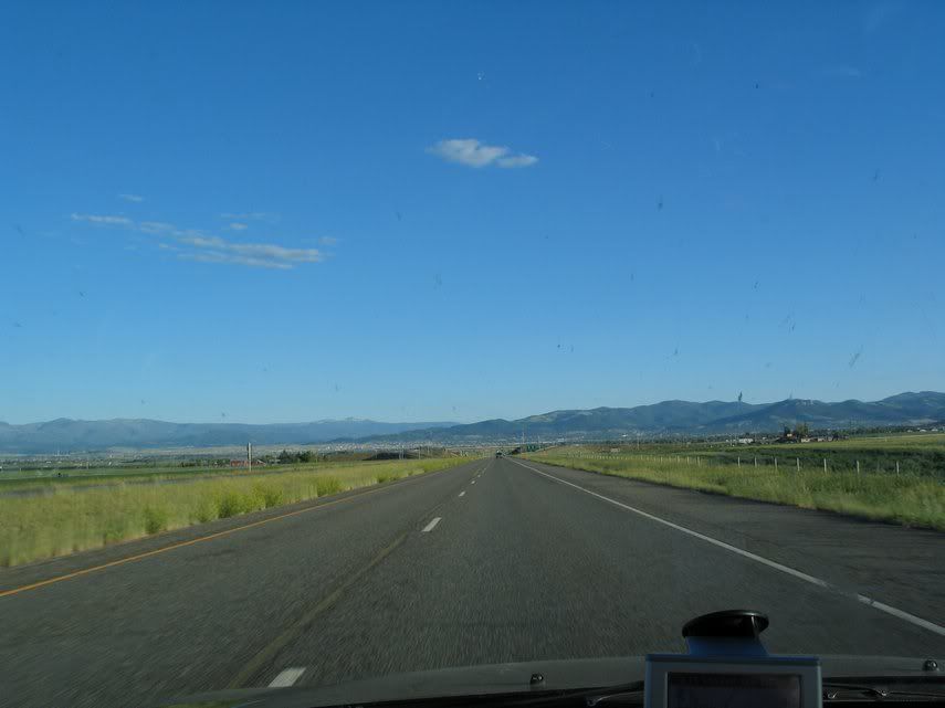
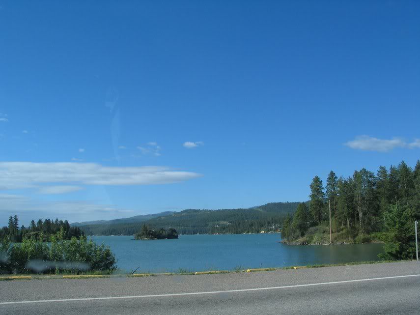
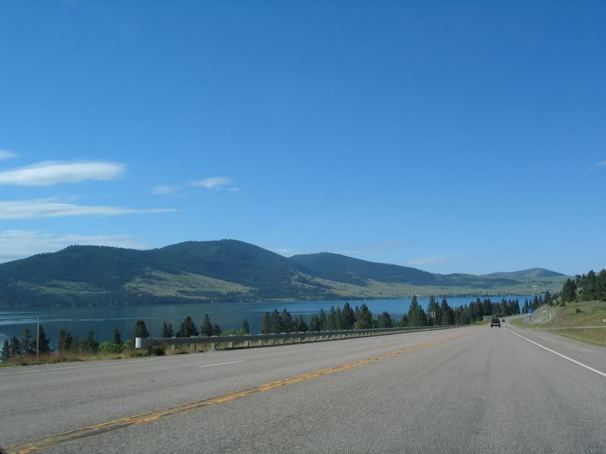
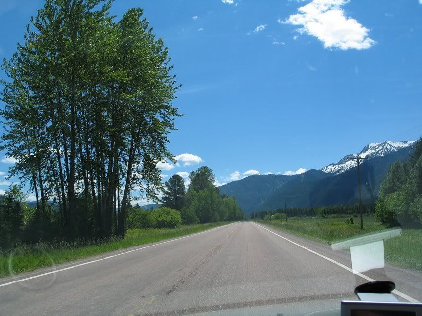
Like I mentioned above, I took the route following the west coast of Flathead Lake, which, if I am not mistaken, is the largest freshwater lake west of Mississippi River. It has a wonderful view, especially early in the morning.


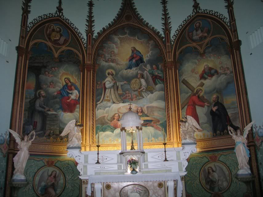
Arriving at St. Ignatius, a town founded by Jesuit Order to serve the Indians. Apparently the Indians loved the Jesuit so much that they actually sent people to St. Louis, Missouri(? - Not sure if I recall this correctly, I have to recheck my note later) to ask for Jesuits to come after the first Jesuit missionaries left the area.


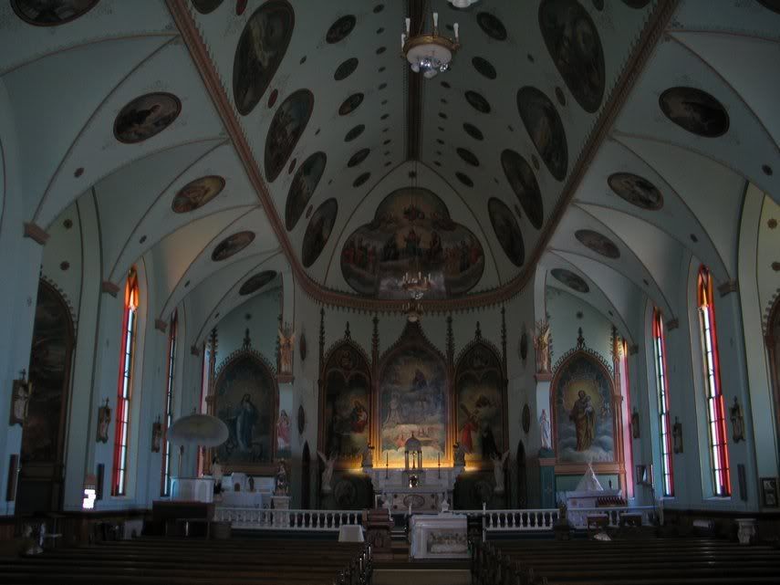
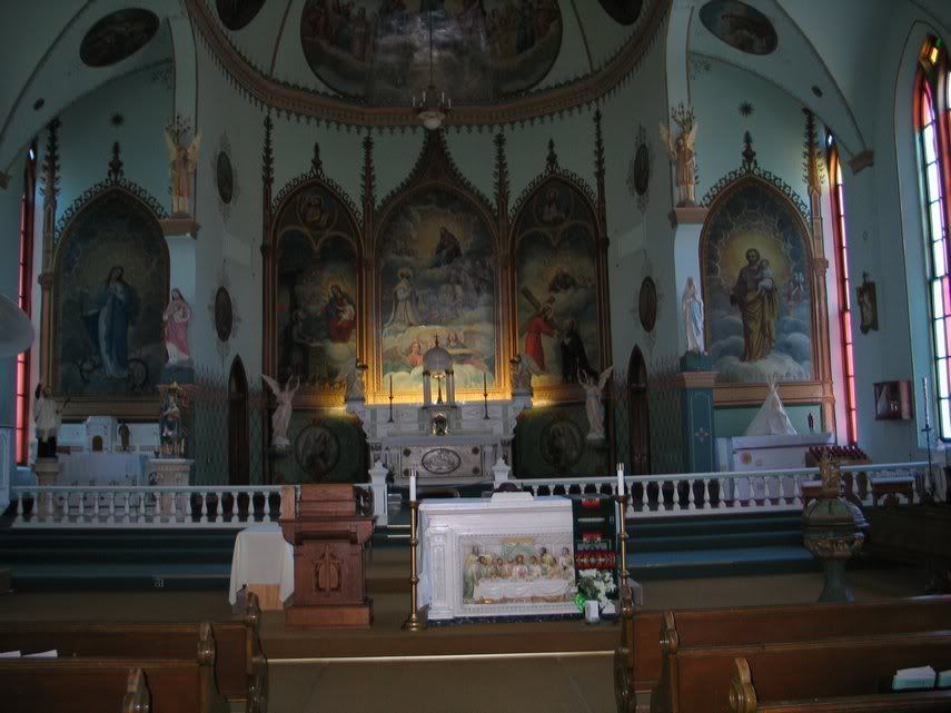
The church has some beautiful murals/paintings. Surprisingly, everything was not painted by a professional painters, but by a cook. That's the main reason why I spent one hour drive down here to this small village and another several hours back north to the Glacier. Does it worth it? Yeah, it is great paintings. However, i wish they will put a much clearer sign on where the church is. It took me a good half hour trying to find this church, before I asked a local. The only sign there directing me to an elementary school.


Scene from the road from St. Ignatius back to the lake.


Eastern route of the lake. While this picture looks great, this is one of very few pictures I took on the eastern route. There are simply very few places to take pictures and the view to the lake is mostly obstructed by trees. So, if you really want to take pictures of the lake, use the western route.


Passing the western entrance to the Glacier, I took Route 2 to the Eastern glacier, since Logan Pass remain closed due to snow until July 1.


Theodore Roosevelt Memorial, planted right on the top of the Continental Divide.


On the road to Many Glacier. The road, frankly, is treacherous, many sharp turns and drops. Thank God I fixed my brake and tires in Minneapolis.


\

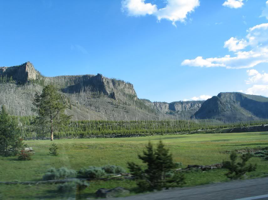
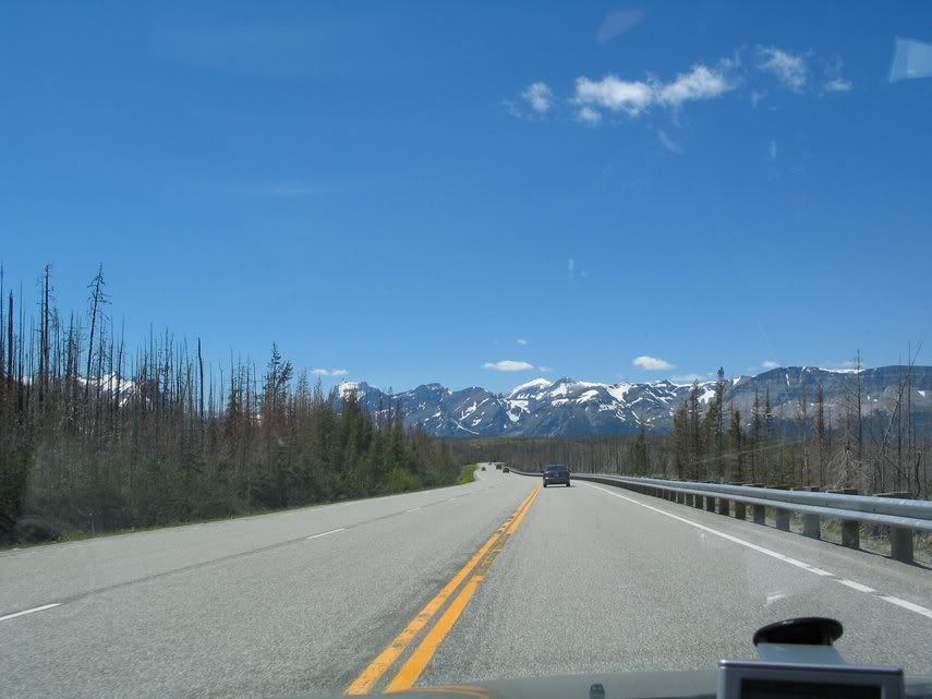
There used to be a huge forest fire around here. The charred remains are not a bad sight though.


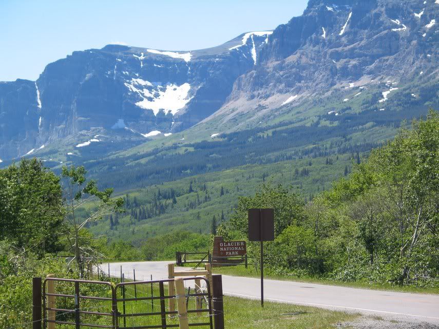
After you travel many good miles, you will find the ranger station. This is the entrance to "Many Glacier" park. One can't help but to ponder that this seems to be kinda extortion. Okay, you drove like 10+ miles to get here, and if you don't want to pay $25, then you have to go back....


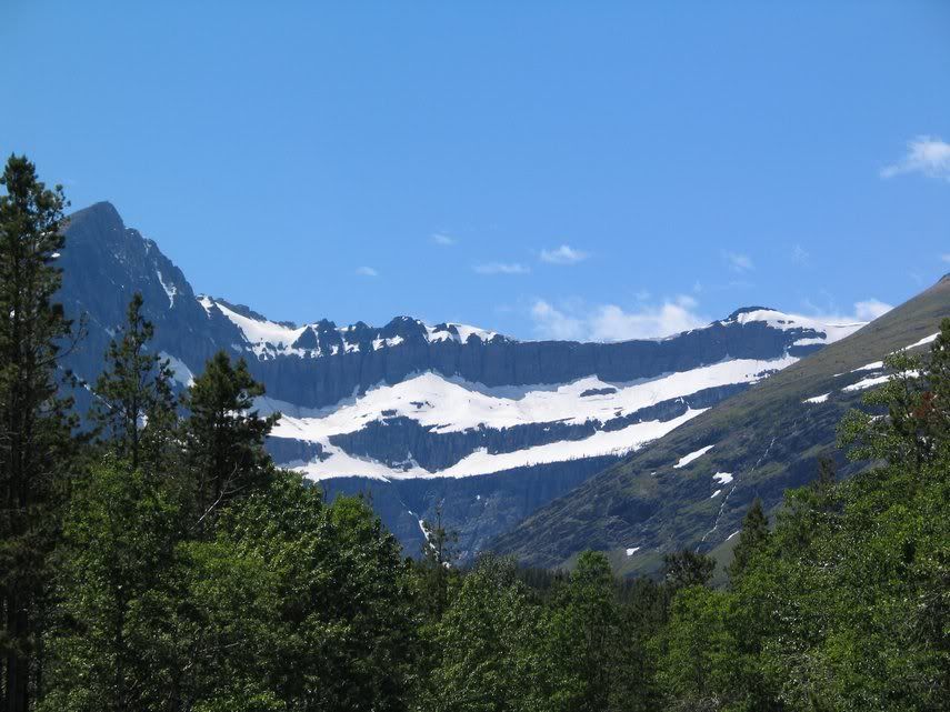
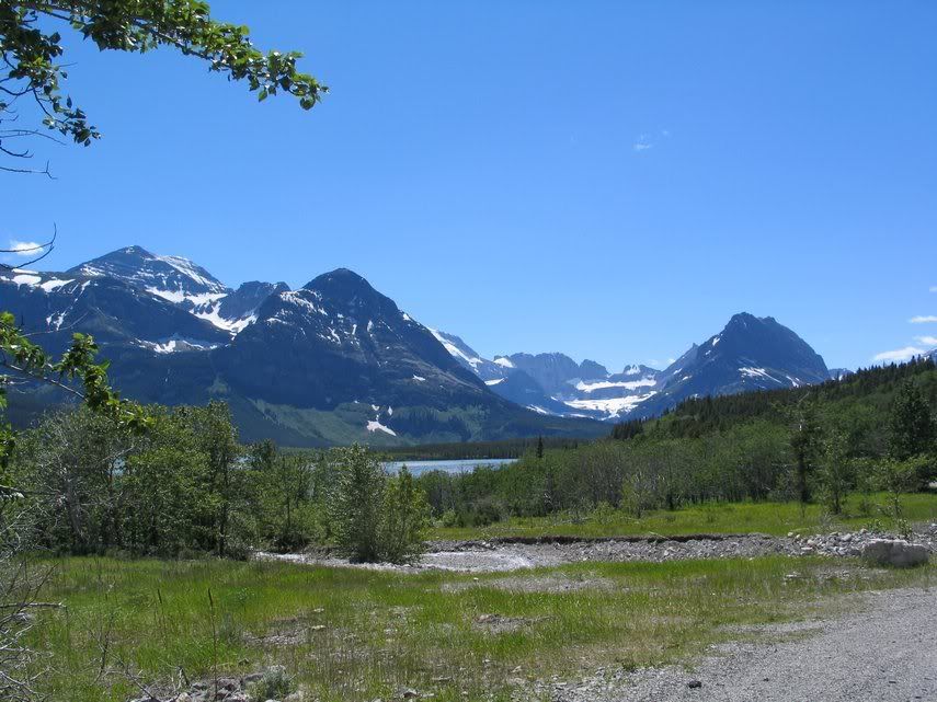
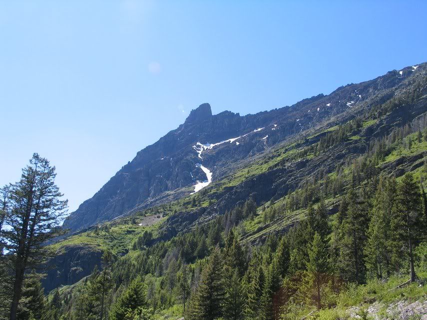
The sceneries inside are excellent though....


The glacier. I was hoping to see it up close, unfortunately, we can only see it from the valley and the glacier was on top of these mountain, buried under snow.


Some other pics


Eastern entrance of the Logan Pass


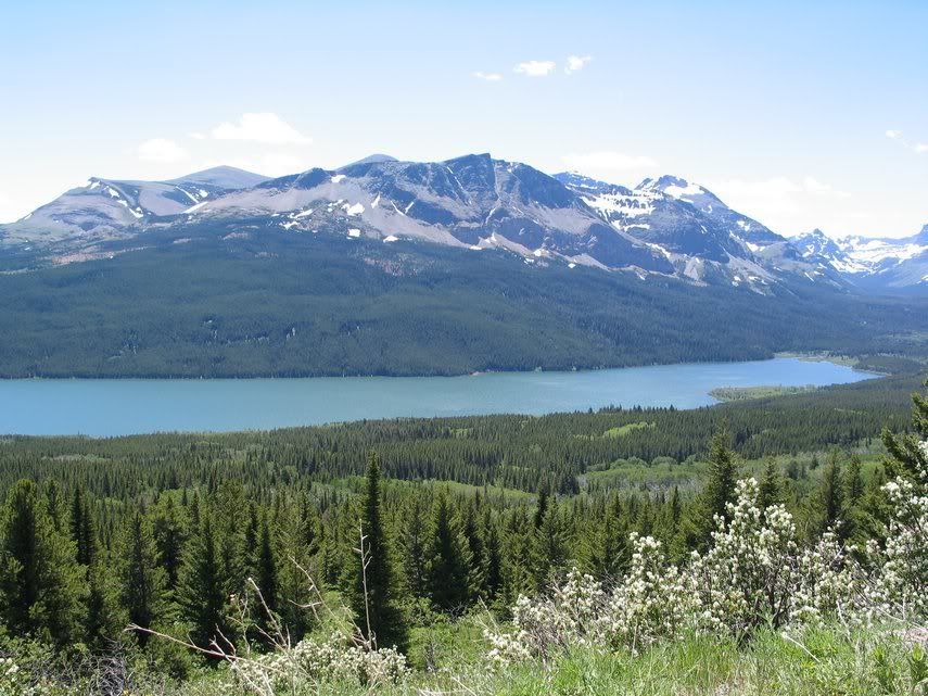
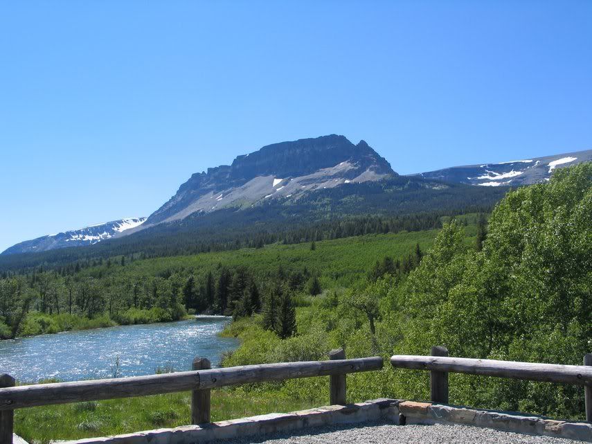
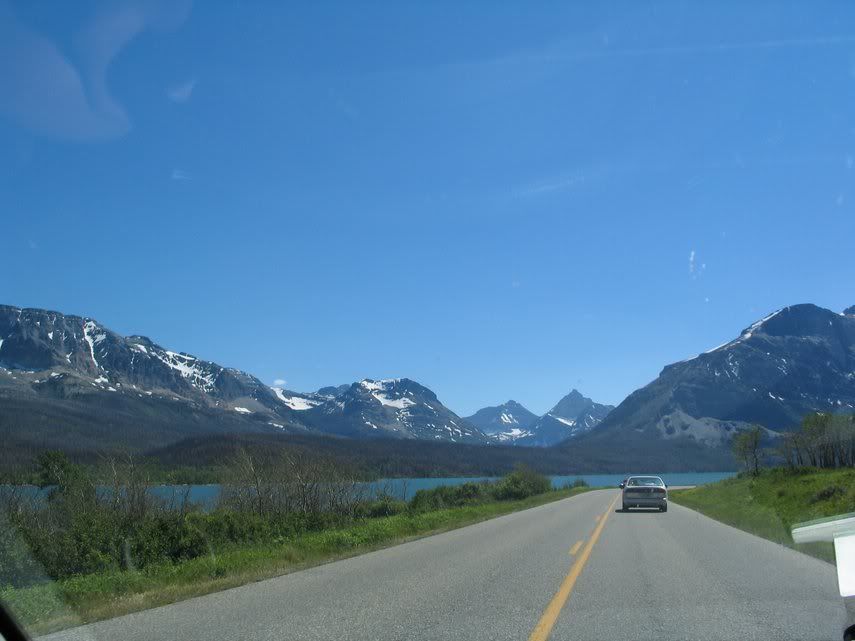
Excellent views of St. Mary Lake.


More pics on the road to see the Jackson Glacier


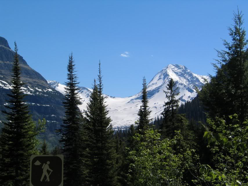
Jackson Glacier. Suprisingly, the glacier in this park is only 25% of what it was in 19th Century. The ranger told me that apparently, the glacier will be gone by 2030. So, be sure to visit this place before then.


On the road back to Livingston


Final note: these photos are simply a few selection, considering that I took 250+ photos yesterday. Unfortunately, these photos can't really reflect the true beauty of the scenes there. Anyway, it is time for me to go. Let see if I can post anything tonight.